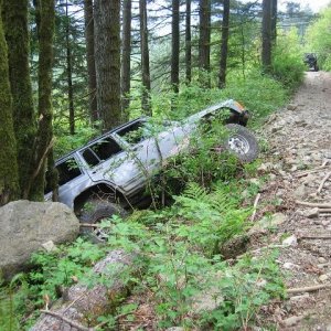
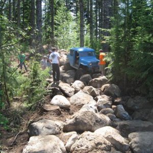
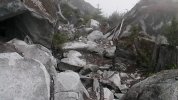
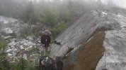
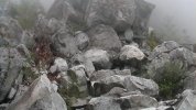
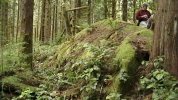
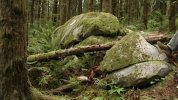
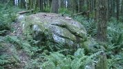
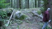
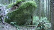
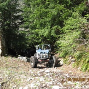
This weekend (at the work party) we cleared two trails (of the 20+ proposed) free of logs, brush, small trees and black berry bushes, 6-8 feet wide. The reason for doing this was to define the trail(s) and to start the process of building these pathways into sustainable 4x4 trails. I believe the next step will be to measure how deep the duff/sluff is on the forest floor. The following step will be to scrape off this material off to the side of the pathway; making it a "trail"......an unfinished trail. The end goal is to reach the "hard bed" of this corridor......rock.
Also, the allowable maximum gradient (degree of slope) was revealed. It was explained like this:
**For a 10 foot section of trail, there will be a maximum of a 50% grade (30 degrees) that can be built into the trail (obstacles). What does this mean? Don't freak out (as I did) due to the apparently tame climb angle. I'm unable to provide a real life example, but think if it like this: the "rise" (the end vertical height of a 10 foot section at a 50% grade) is 4+ feet.
DON'T THINK IN STRAIGHT LINES, as this will fool you into it's tame nature. Rather, understand that a 50% grade in 10 feet can lend a generous amount of difficulty.......if built correctly.
**I'm no math whiz and kinda wing'n this one, so if anyone would like to correct my math or examples......please do.
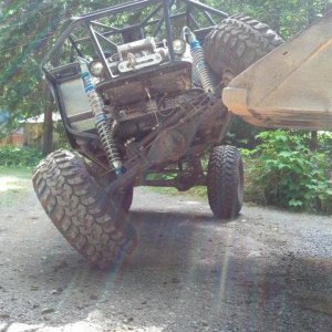
Edit: the "Red Trail" (the buggy trail) will not be limited to this gradient. The maximum 50% grade is for all the other trails though.


![nov[1]. 06 cam pics. 014.JPG](http://attachments.www.hardlinecrawlers.com/xfmg/thumbnail/30/30808-c6b5635b479852945c6b1ee2c864e211.jpg?1683572195)