• Help Support Hardline Crawlers :

Snowed All Day!!!!!

zukkev

Cornfuzzled yet again...
Joined
Feb 23, 2007
Messages
14,290
Location
Da Ham, Wa
Well, finally got pics into comp:clappy: ;Walker run Sat 19th.........
HPIM0733.jpg

HPIM0695.jpg

HPIM0712.jpg

HPIM0717.jpg

DSCF2873.jpg

DSCF2883.jpg

HPIM0696.jpg


What a blast the whole day!!!!:cool: Thanks to all that came out!!!Look forward to it again.....
 
Last edited:
It's truly amazing how much warmer it is w/'em Jim!:haha:
More pics to follow when I get 'em!!!
 
Nice

I was up there that day as well, and saw you loading up when I got back to the parking lot. That bobbed 4Runner looks sick, next time I'm going to take a closer look at it to see how it came out on the interior. Here is a pic of my truck that I was driving up there.
 

Attachments

  • New Truck On The Trail.jpg
    New Truck On The Trail.jpg
    41.8 KB · Views: 341
Yeah, it's set up pretty nice!Not sure about the int though....:scratchhead:
IRemember seein ya behind the Sami that was w/ you--
 
More Pics...

Yeah,it was!!!look forward to runnin w/ ya when yours is up&goin!!!:D :beer:

DSCF2825.jpg

DSCF2820.jpg

DSCF2847.jpg

DSCF2852.jpg

DSCF2838.jpg

DSCF2864.jpg

DSCF2817.jpg

DSCF2818.jpg
 
Last edited:
I'm confused. I don't know that area. It looks like people are driving around a closed gate?
 
Nope, it's actually a shoefly to try and keep the less equipped vehicles off the trails at Walker Valley ORV; It is a legit bypass for the Forest Service gate....although a mildly lifted rig w/ moderate tires/rear locker will get thru no problem(well, slight problem,but you get the idea...)
 
Nope, it's actually a shoefly to try and keep the less equipped vehicles off the trails at Walker Valley ORV; It is a legit bypass for the Forest Service gate....although a mildly lifted rig w/ moderate tires/rear locker will get thru no problem(well, slight problem,but you get the idea...)

Walker Valley is a DNR area.
 
Actually if you talk to the DNR people that watch that area, when the gates are closed, that means NO entrance and the by-pass thing is just a rumor. The Upper Main line has NO gate and is open at all times to 4x4's.
 
Actually if you talk to the DNR people that watch that area, when the gates are closed, that means NO entrance and the by-pass thing is just a rumor. The Upper Main line has NO gate and is open at all times to 4x4's.

So, when the gate is closed, your NOT supposed to go around it and that trail is considered CLOSED when the gate is CLOSED?
 
No, the gates are there and set up as gatekeeper obstacles to keep people from getting crap stuck on the trails. There is a gate for upper mainline, 2 actually but the new 4x4 access for upper mainline no longer uses the gate bypass, there is a hillclimb from PB road up to a gravel pit. Access lower mainline from the gate bypass in the pictures, which unfortunately has been made easier in 2007, I guess to accomodate less equipped rigs.

Those pictures are :cool:
Walker is fun in the snow:awesomework:
Looks like you guys ran whats left of the old jeep cross trail,
I was wondering how is the washout spot on the road out the bottom?
I think it's where the red XJ is in the pic?
That's a good pucker spot, I quit taking people on that trail because of it, sooner or later I think it will erode to the "tipping point"
 
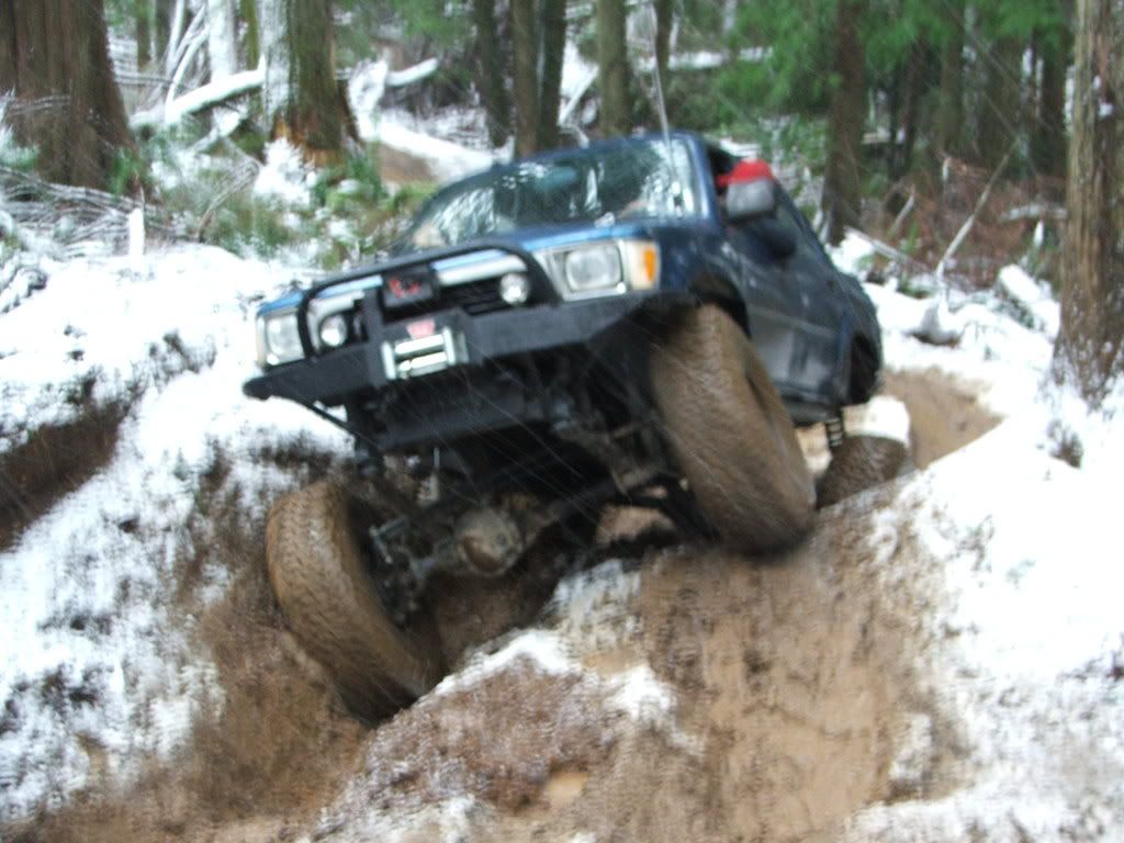
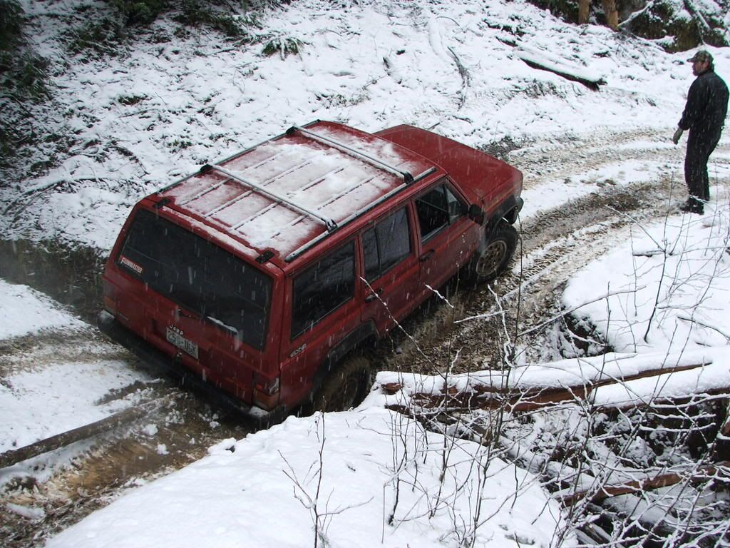
I'm not trying to raise a stink, just creating a little discussion.
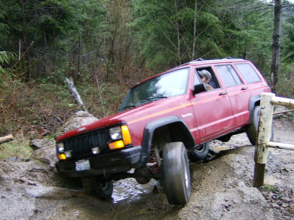
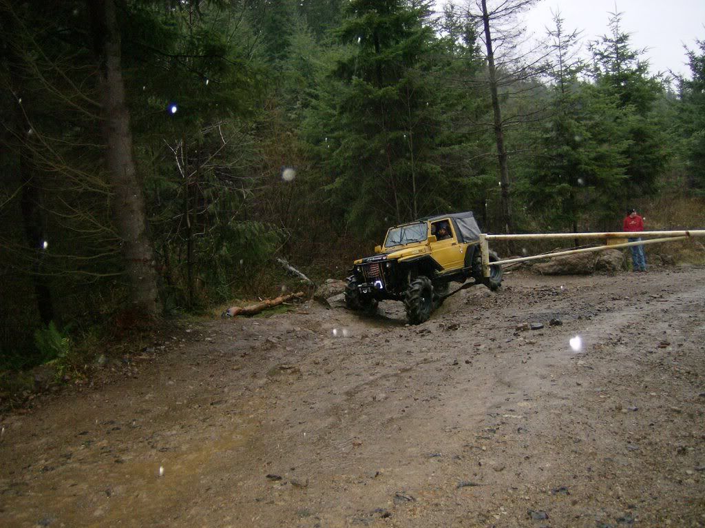
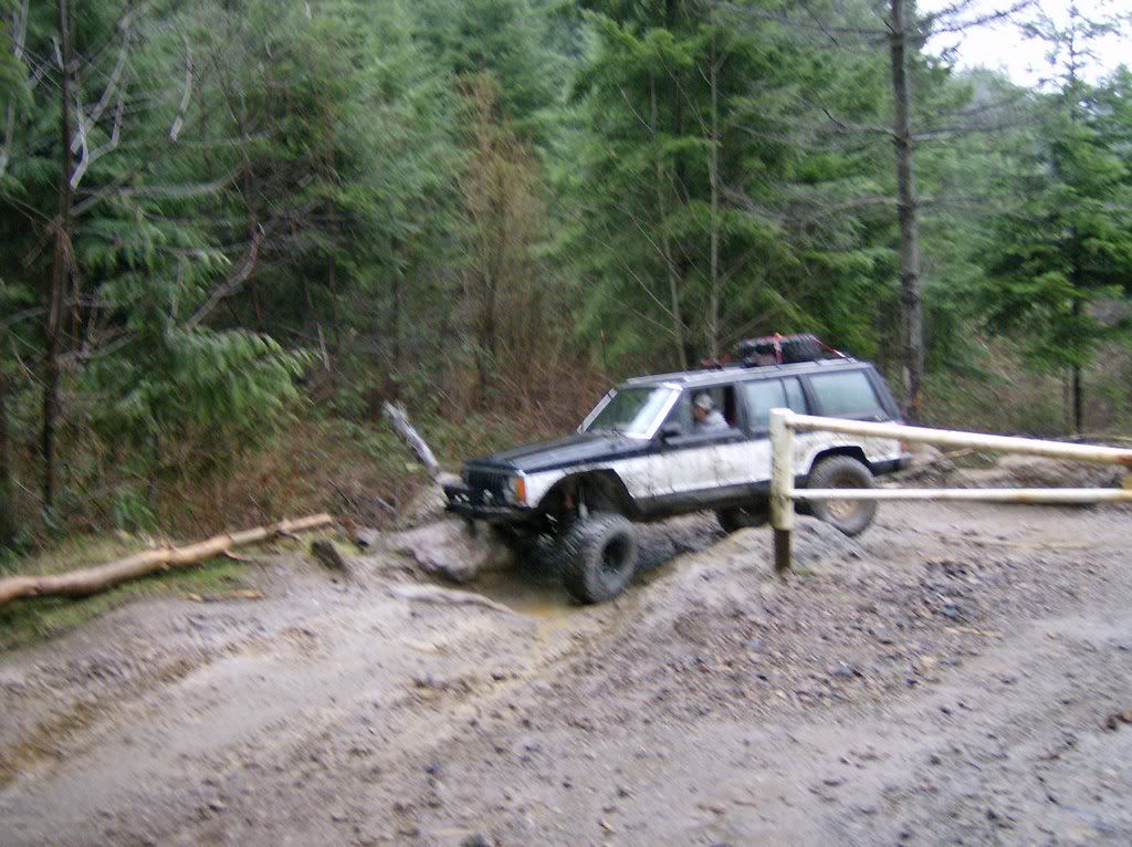
1) It's very easy to misinterpret pictures of people going around gates as illegal activity. It's been said elsewhere that our enemies are on here watching what we do. I'd hate to see someone's fully legit pics end up on some environmental whacko website as a example of illegaly 4x4 activity, even it it's not.
2) It's interesting to get various comments about why the gates are in place. I have no involvement or history with Walker Valley, so this is observation from afar.... so I have a couple of questions for those that DO know the area better. First, is there a sign of any sort explaining that this is a gatekeeper of any sorts, any markings or such to indicate that. If not, how do you know that this is a gatekeeper obstacle (It looks just like a gate that people have driven around)? What is there on these "gatekeepers" to keep the trails from getting wider and easier? Is there someone or some group that maintains the gatekeepers.

I ask partially because as we consider gatekeepers for Elbe I'd like to learn about how they're done elsewhere. I can see a gate being made available to trail maintenance access, removal of disabled vehicles or emergency vehicles etc and I can see that as a VERY good idea. On the surface this appears to be a gate that people have just gone around, so, how are people instructed about the gate and the gatekeeper?
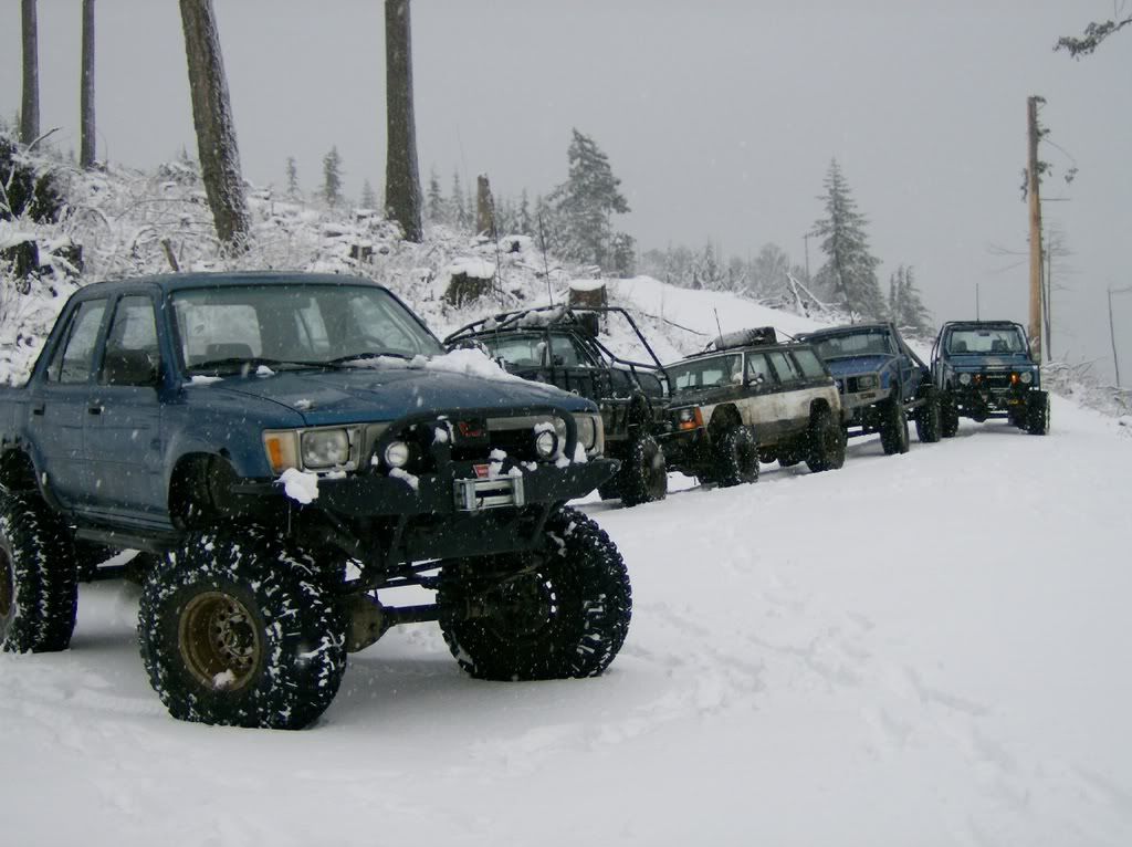
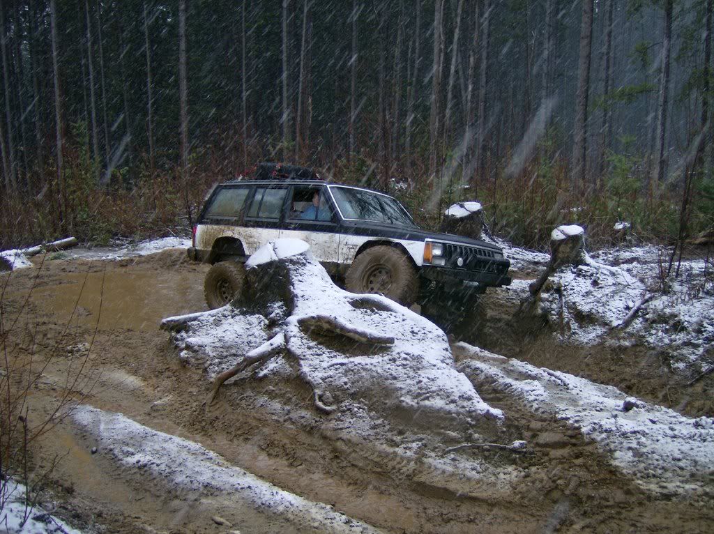
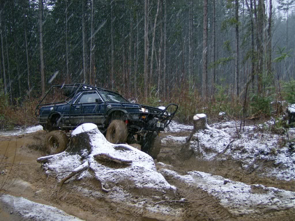
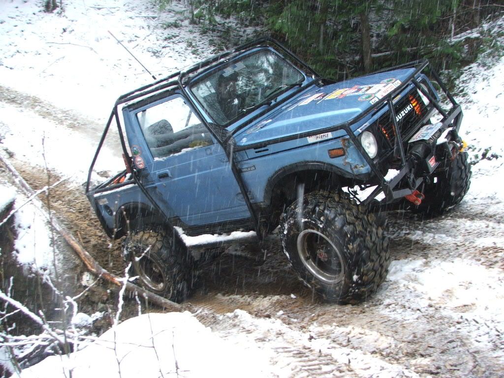
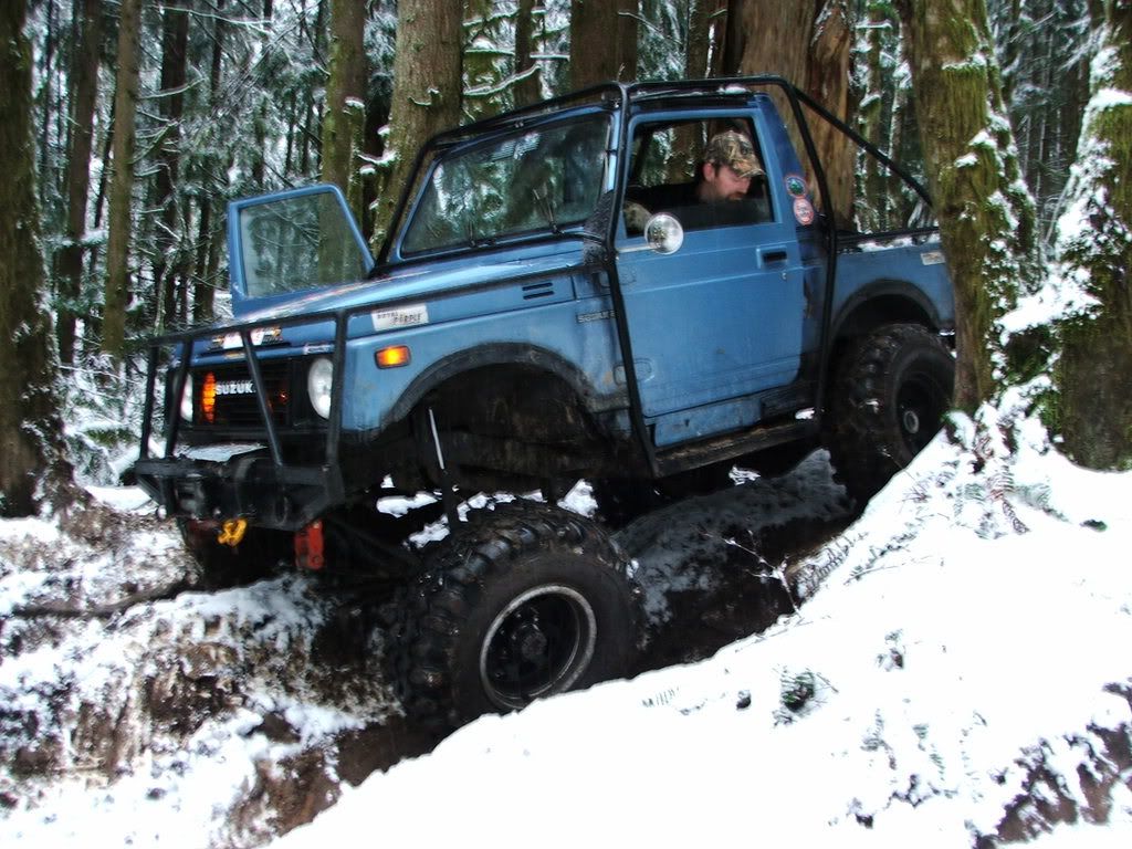
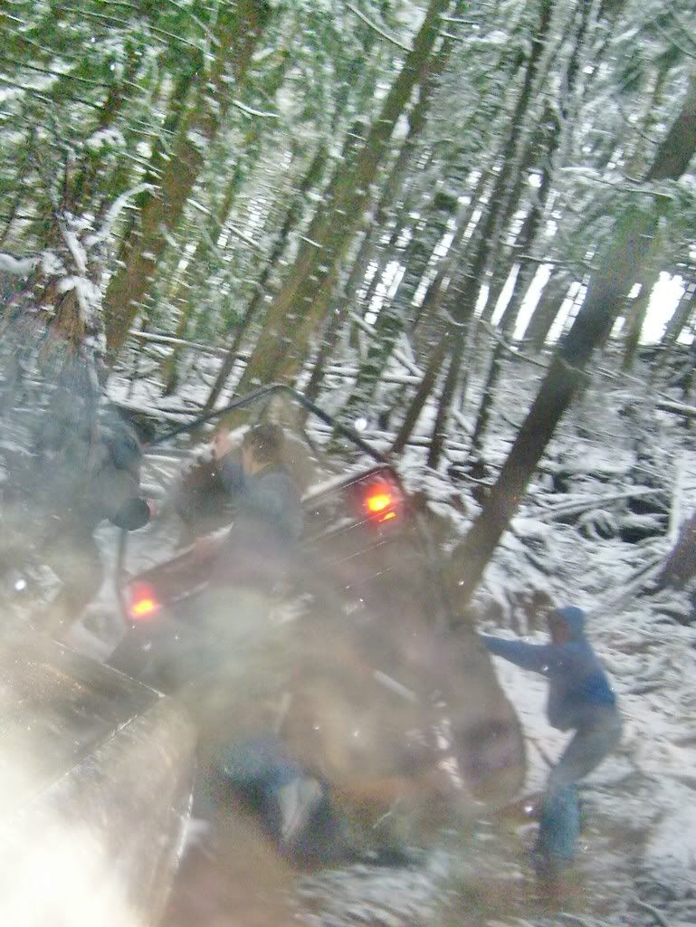
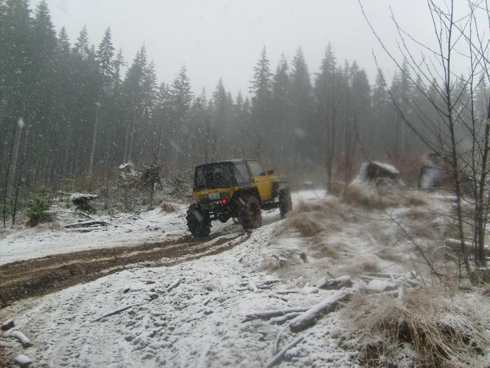
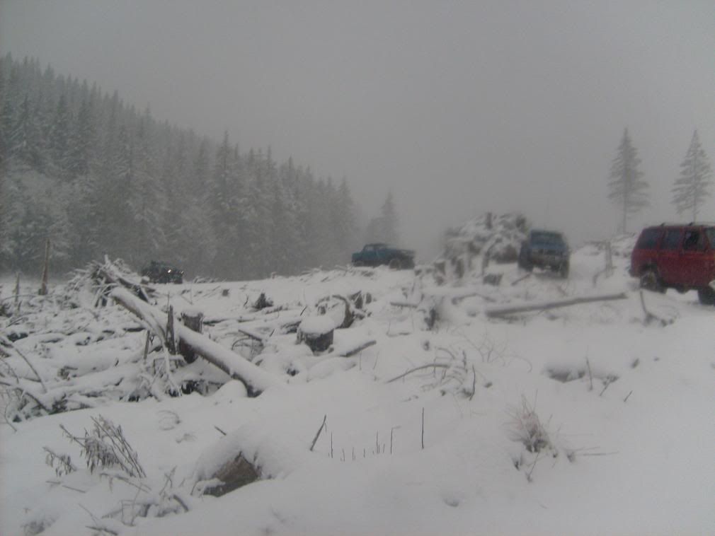
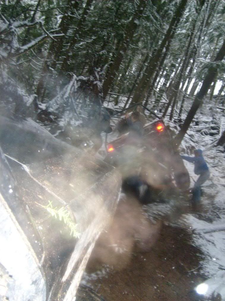
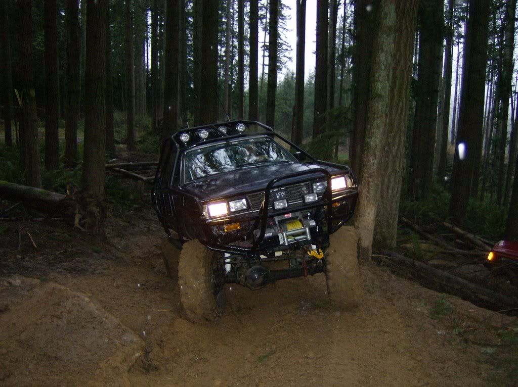
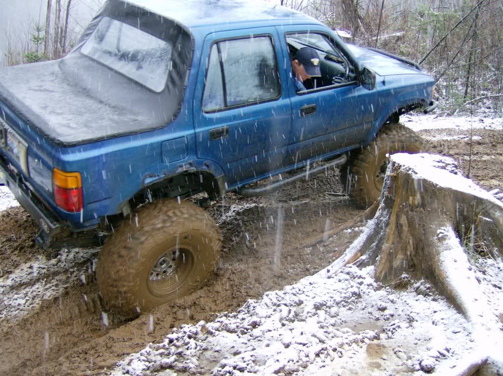
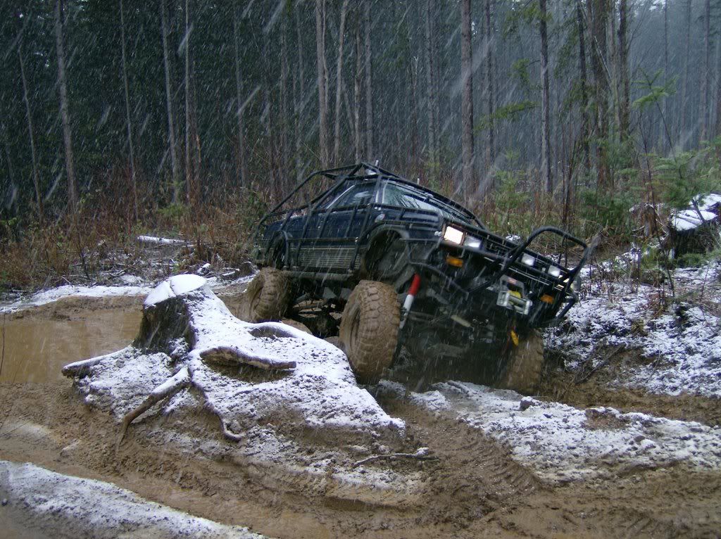
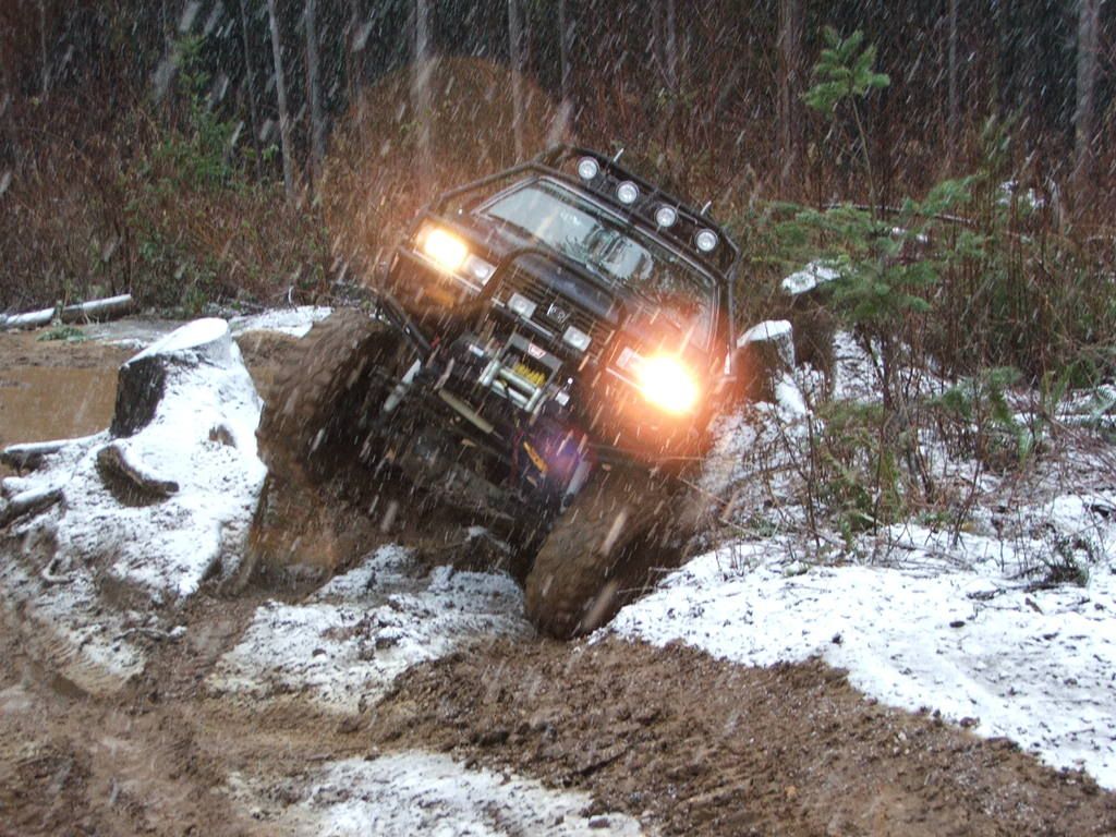
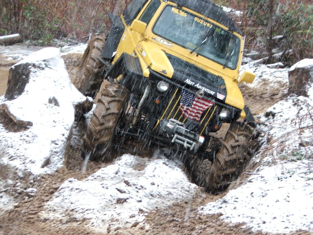
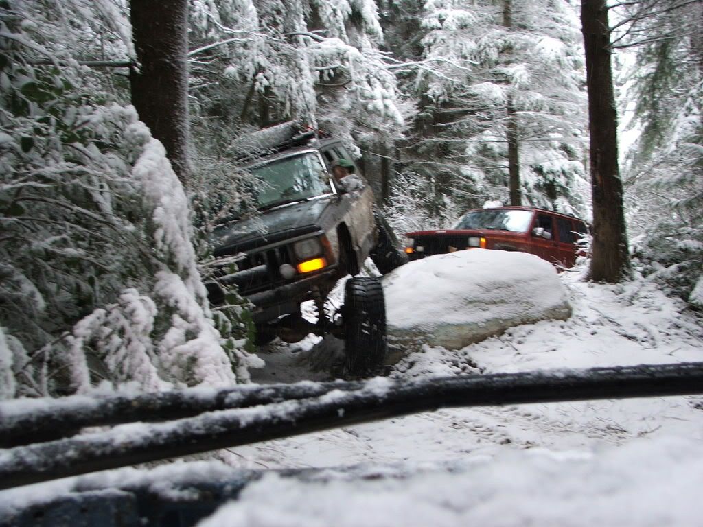
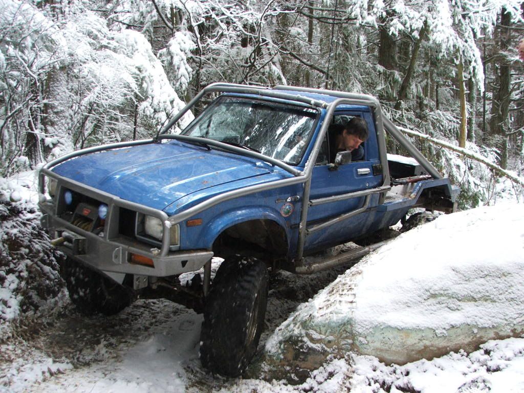
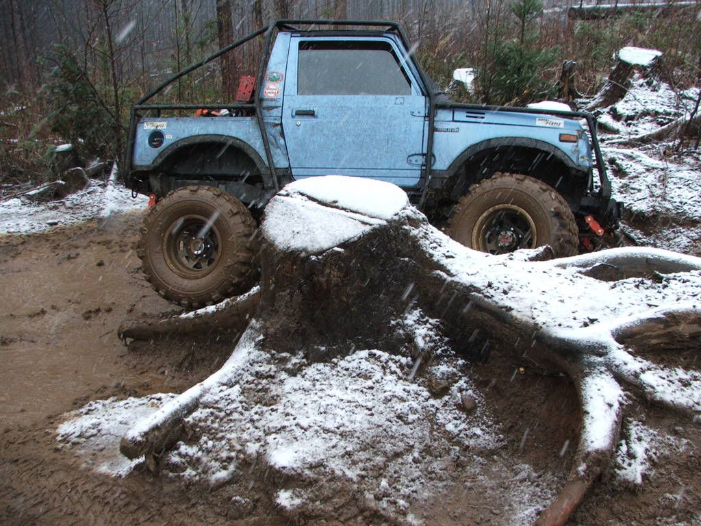
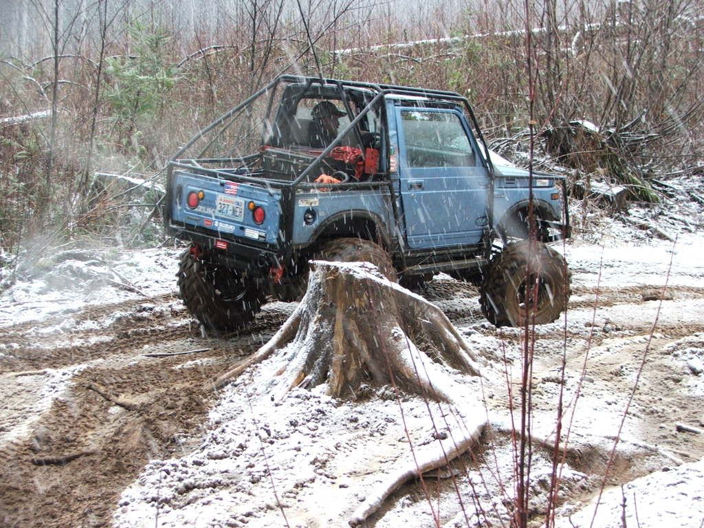
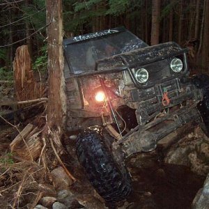
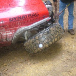
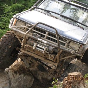
 
There is a map posted in the main parking lot at Walker, showing trails for 4x4, ATV, and bikes. I'm not sure if the gate bypasses are labeled as such on the map or not, but things are getting pretty well signed out there. Near the main parking lot is the OLD gate bypass which is now closed, and well signed. The spot in the pictures is the only legal gate bypass I know of. As with most areas the best bet is learn your way around from someone who knows because even the best maps and signs can be misleading. I think Northern Toys is the club primarily involved with the Walker Valley trails, they built all that stuff with the DNR and would know more than me, I just wheel there.
 
there is signage for the trail and the gate keeper is legit, although the gate is unlocked most of the time, the gate keeper is simply there to say "if you cant get past this then you shouldnt be in here", it was made by dnr, basically it is just a bunch of well placed rocks.
 
Top