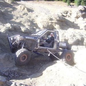
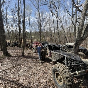
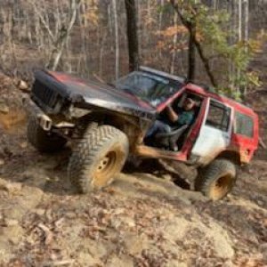
7% gotta wonder where they get these numbers:eeek:
Public lands
Wilderness Society
Bush Administration sacrifices Utah public lands to off-road vehicles and energy speculation
News Release
MOAB (August 5, 2008) – The Bureau of Land Management ("BLM") has released the second of six land use plans that will govern approximately 11 million acres of scenic public lands in southern Utah. The Moab plan released Friday, August 1, 2008, continues to cement into place the Bush Administration's legacy of opening Utah's iconic redrock canyon country to irresponsible energy development and 4-wheeler and jeep-based recreation.
"The Moab plan is out of touch with the public's values. Although less than seven percent of visitors to the Moab area report that their main activity is motorized recreation, the new plan ignored that information and is weighted heavily on the side of dirt bikes, 4-wheelers and jeeps", said Liz Thomas of the Southern Utah Wilderness Alliance. "Under BLM's plan, 84% of all public lands near Moab will be within 5 city blocks of an off-road vehicle route, leaving few places where visitors can enjoy the quiet and beauty of the redrock canyons and mesas Moab is famous for, without the loud whine of dirt bikes and 4-wheelers."
The Moab plan governs 1.8 million acres of world-famous scenery in the Moab area for the next 20 years. It bears out the worst fears of those seeking preservation, rather than exploitation of this remarkable area. In this rugged and unique landscape, home to Arches National Park, the spectacular stillwater stretch of the Green River in Labyrinth Canyon—first explored by John Wesley Powell in the 1860's, expansive views of Canyonlands National Park, the iconic Fisher Towers, and a maze of sinuous slickrock canyons, BLM's plan fails to protect 90% of the lands that the agency, itself, determined to have wilderness character. These roadless lands will now be open to jeeps and ATVs, and reckless energy development.
"The Moab plan allows dirt bikes, jeeps and four-wheelers to drive in streams, seriously harming sensitive wildlife habitat, eroding stream banks and increasing the amount of sediment in stream water," said Phil Hanceford of The Wilderness Society. "The dense web of off-road vehicle routes this plan calls for will severely fragment wildlife habitat throughout the region."
Even though the plan acknowledges that land management practices impact global warming, the plan does nothing to reduce harm to the climate. Most importantly, the plan ignores ways to reduce the impact of wind-blown dust on the climate. Dust kicked up by motorized vehicles and their web of routes can blow onto mountain snowpacks, causing early and faster snow melt.
Although the BLM acknowledges that is has inventoried a mere 6% of the public lands for ancient archaeological resources, the Moab plan designates nearly 4000 miles of 4-wheeler and dirt bike routes on lands known to have cultural artifacts – artifacts that have not been surveyed and recorded.
"Although the beauty of this landscape is treasured across the nation and the world, the Bush Administration is leaving a legacy of oil rigs, waste pits, jeep trails, damaged streams, and destroyed wildlife habitat in southern Utah's iconic redrock country." said the Southern Utah Wilderness Alliance's Thomas.
In brief:
The Moab travel plan designated nearly 4000 miles of off-road vehicle routes, many on lands the agency has determined have wilderness character.
The Moab Plan will "protect" only 10%, 47,761 acres out of 464,777 acres, of the lands that the BLM, itself, has found to have wilderness character.
The travel plan designates off-road vehicle routes in all of the areas identified by the agency has having wilderness character – even the few areas BLM says it will manage to protect the wilderness character.
The Moab Plan will allow oil and gas exploration and development on more than 1.4 million acres.
Citizens have 30 days to review the 3-volume plan and to submit protests to the BLM (due September 2, 2008).
See more information on the plan.
http://www.suwa.org/site/PageServer?JServSessionIdr011=zppwgtm391.app7b

