I'm looking at the most recent map.
http://www.fs.fed.us/r6/mbs/projects/evans-creek/evans_final_ea_appenidix_l.pdf
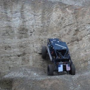
Can you tell us how an ORV licensed vehicle obtains legal access to the trails? I don't see where it is on this map.
I see the 50" wide access for ATV and motorbike, or street legal vehicles wider than 50" but nothing for the ORV licensed 4wd vehicle.
http://www.fs.fed.us/r6/mbs/projects/evans-creek/evans_final_ea_appenidix_l.pdf
Can you tell us how an ORV licensed vehicle obtains legal access to the trails? I don't see where it is on this map.
I see the 50" wide access for ATV and motorbike, or street legal vehicles wider than 50" but nothing for the ORV licensed 4wd vehicle.