TBItoy
Well-Known Member
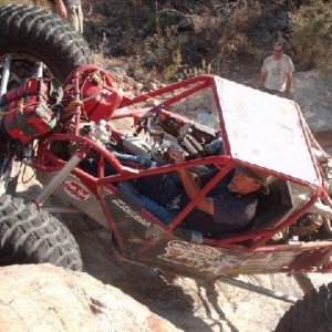
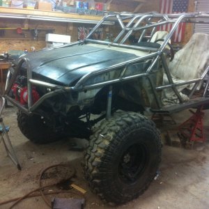
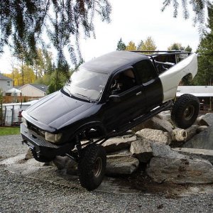
Now that I have a fishing truck/mild trail wheeler, I've spent a bunch of time searching google maps looking at satellite photography and finding trails/un maintained roads/etc that go across the fairly uninhabited areas. Head out on a Saturday and go exploring.
Anyone else do this? Find through trips that are cool?
If you aren't familiar with what I'm talkin about, click over to satellite on Google maps, zoom out and find a spot that looks dark green/heavily wooded and start zooming in. Usuaully you be able to see trails on top of the ridges, "dead end" roads that actually turn into trails, etc.
Most of these trails/areas have been around for decades and locals ride them, some aren't exactly easy to access from a parking-tow rig-trailer standpoint, so a street legal wheeler is preferred.
Close to me the Rickman-Alpine-Allred TN area is covered with old logging roads and unmaintained county routes.

 and scout for 12hr days. I thought I knew all that was there...well Google earth showed me. It can reveal stuff that you were right on top of but couldn't see. Saves so much time too. I get a hit list together, then head out with a mission. This is where I feel bad for you guys to the east, so much private land you are almost always on somebody's land. :-\