So, did the fix the washout then?
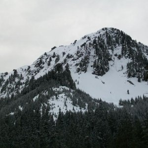
Regardless, there is another road that goes up on that ridge. It was the original road going up on the ridge before they built the nice USFS graded road. Still numbered and everything. It is the on your left immediately after the train trestel bridge. It is completely overgrown, but if you look on the map, it goes all the way to the top. I found where it comes out on the top as well. I just haven't had time to go up and clear the bottom section of the trail of brush/trees.
I don't understand the road marking system up there, but the rougher unmaintained ones seemed to have a red diamond or something (IIRC). This "road" had one of those, so it may in fact be a trail at this point.
Craig
")
![camping_setup[1].JPG](http://attachments.www.hardlinecrawlers.com/xfmg/thumbnail/27/27459-40641761d84d5991f1bf34779e7ca4ed.jpg?1652267325)