Money Mark
Well-Known Member
- Joined
- May 19, 2006
- Messages
- 563
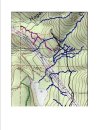
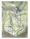
If you're referring to the "Bonus Round" rocky trail that runs along the puddled road that used to go to May Creek / Lake Isabel Trail.......NO, it won't. Anything west of Hogerty Creek (Sac-Up) is designated non-motorized use.......for now and ever more.