• Help Support Hardline Crawlers :

Carbon river/glacier hike.

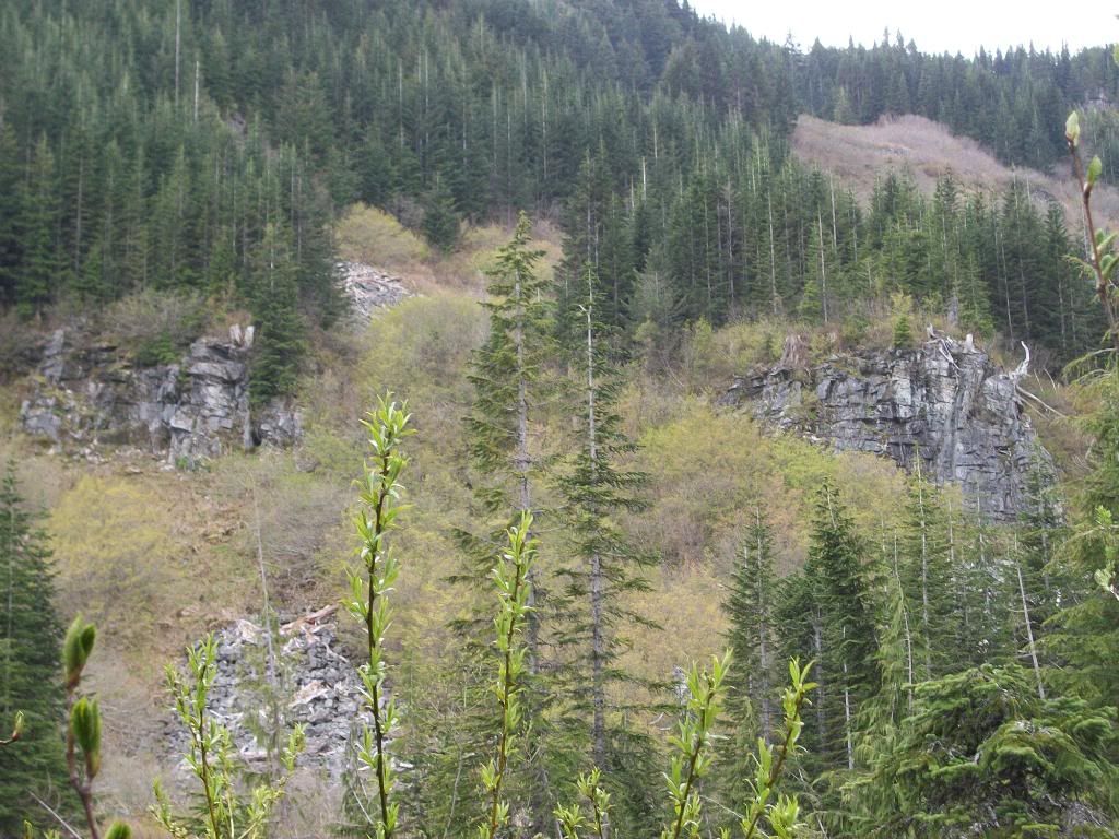
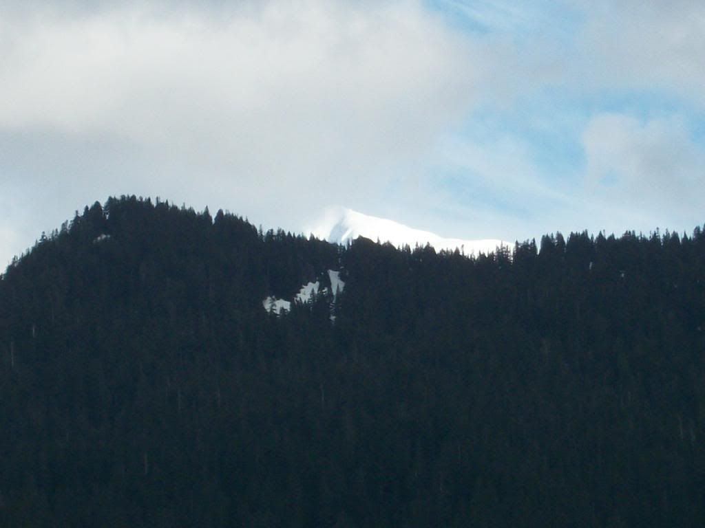
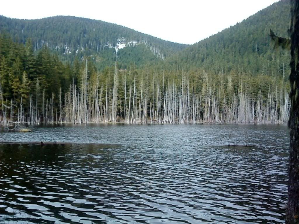
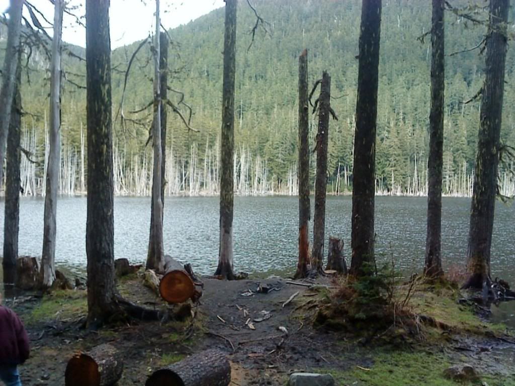
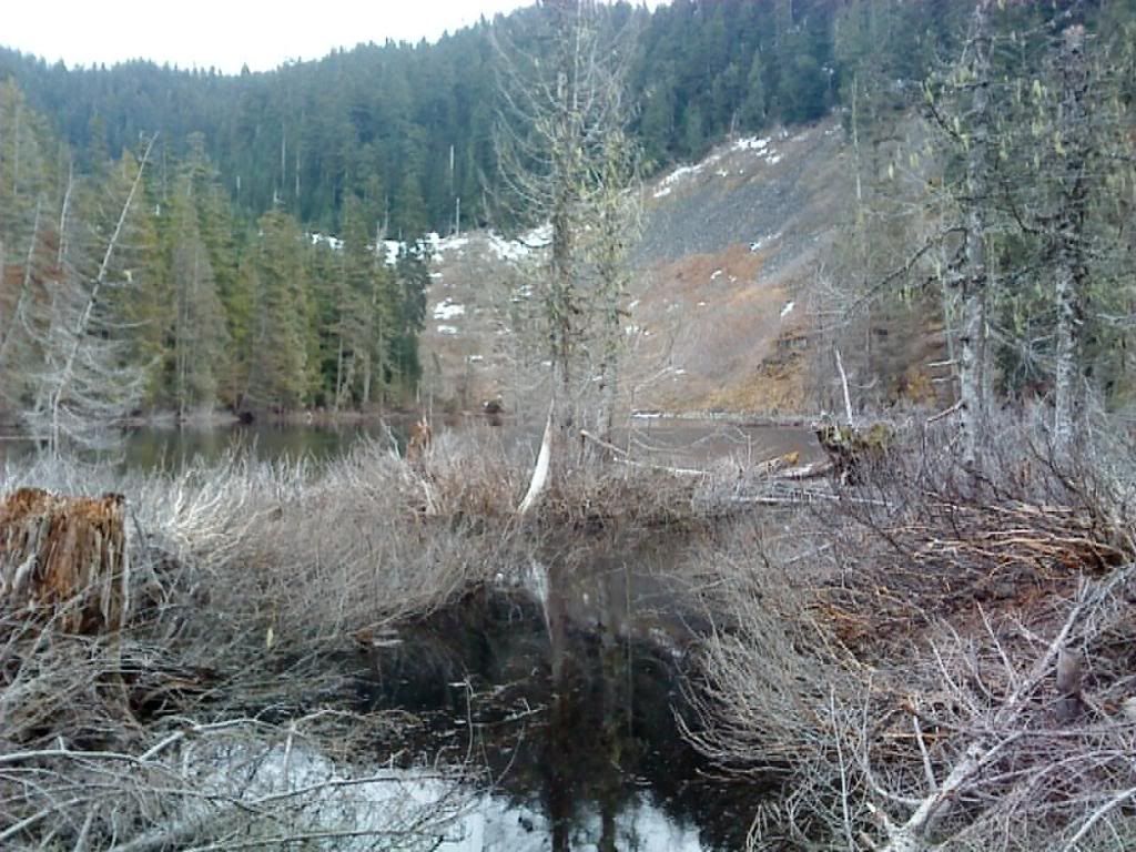
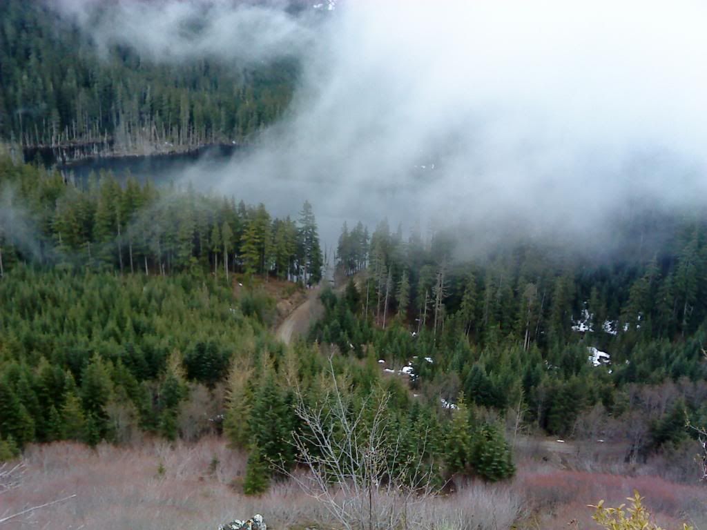
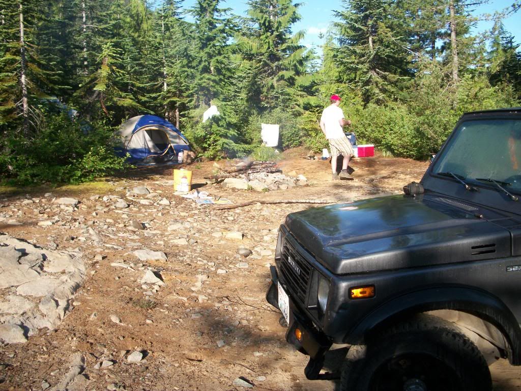
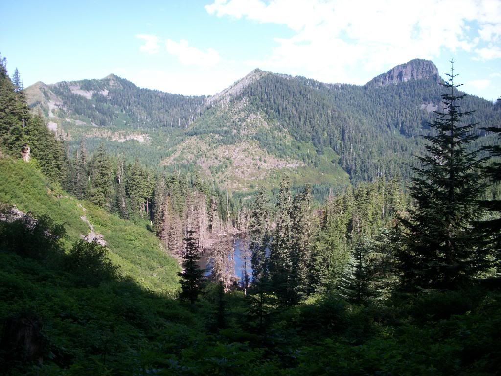
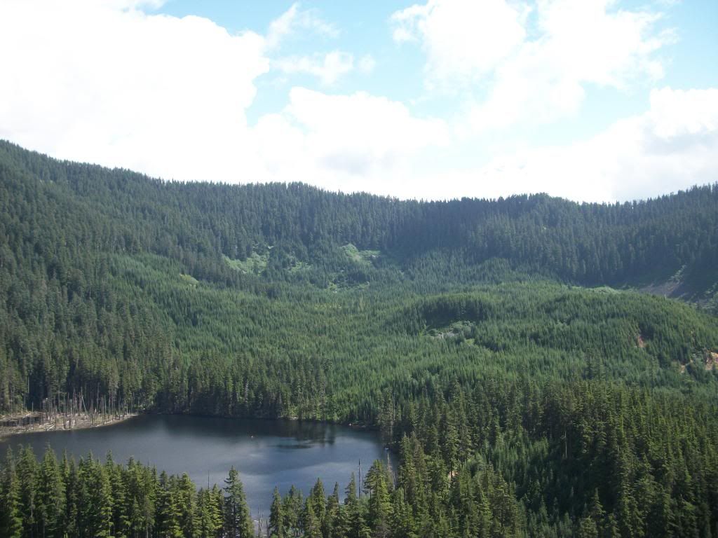
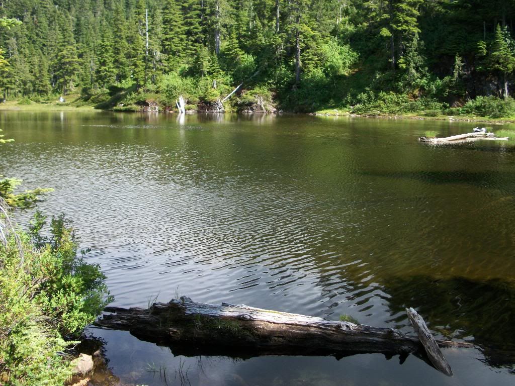
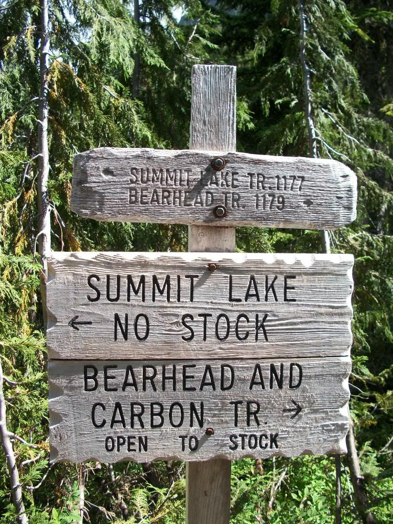
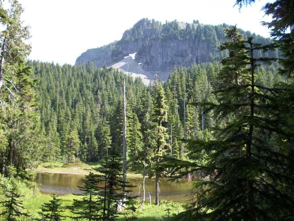
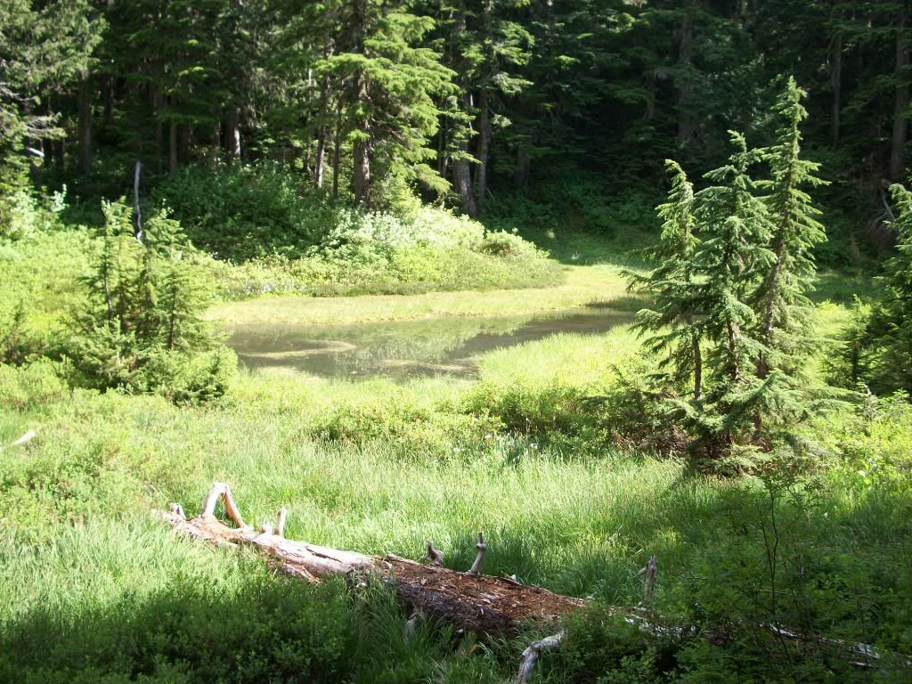
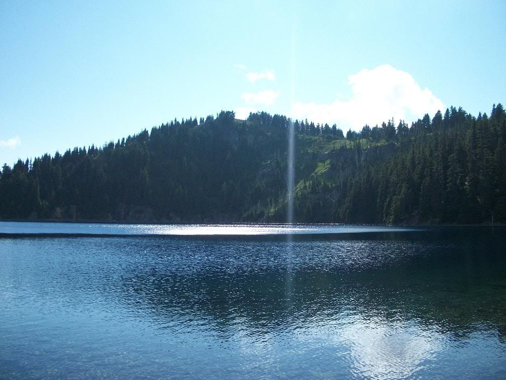
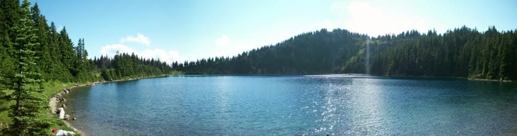
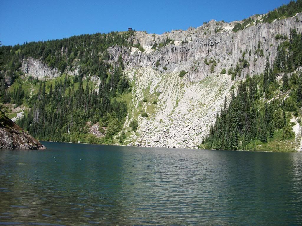
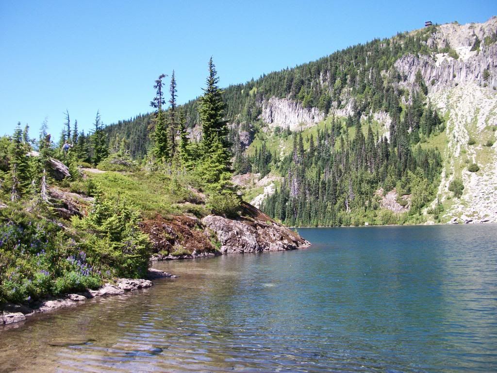
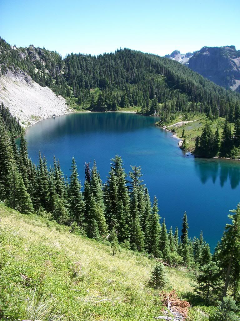
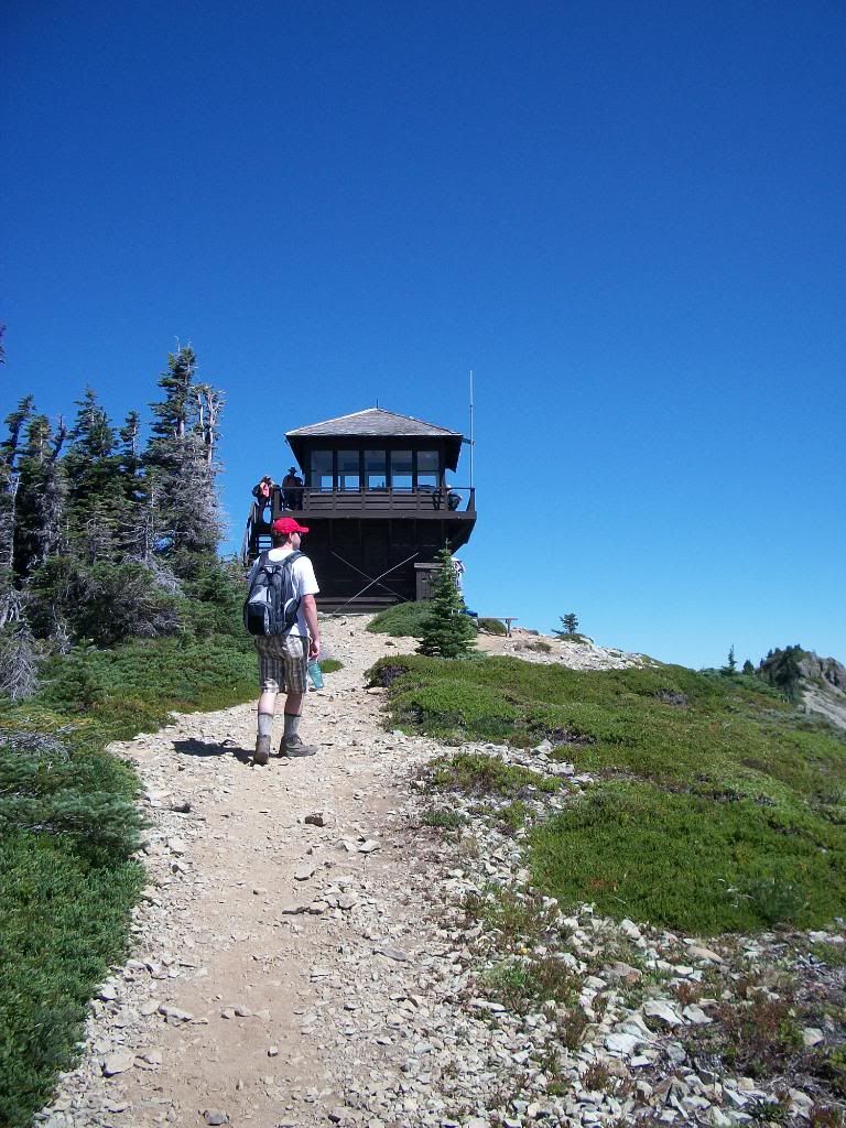
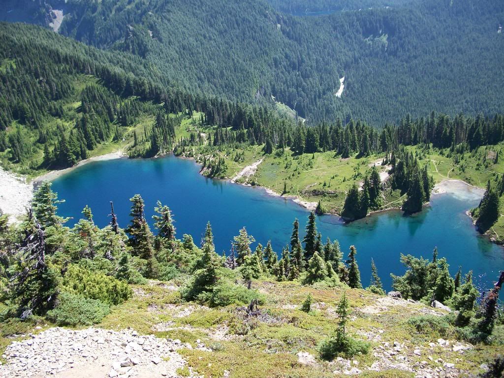
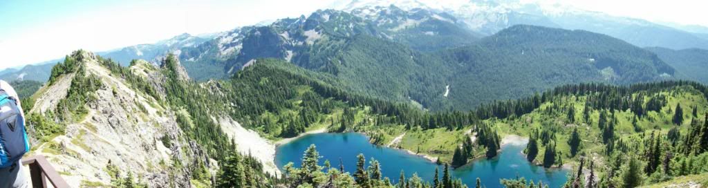
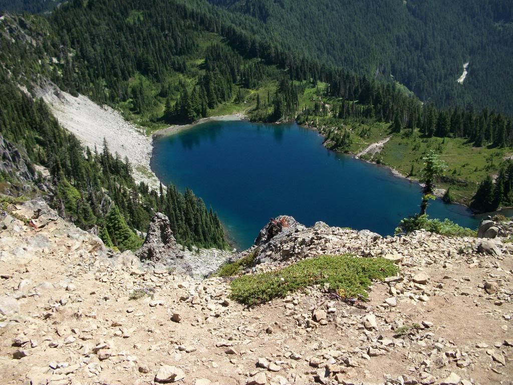
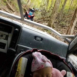
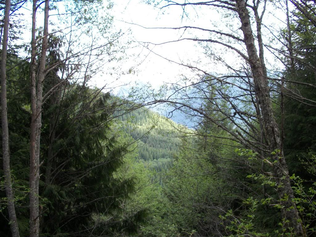
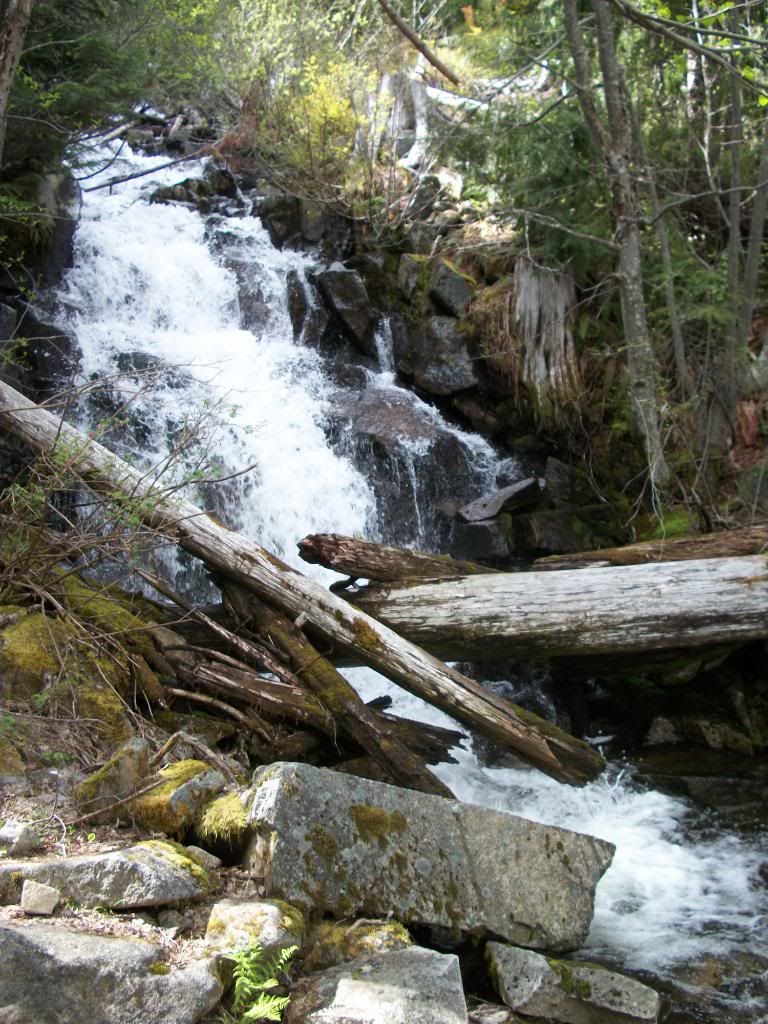
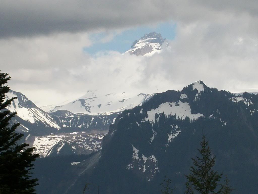
I just can't get enough of the carbon river area. We went up looking for surprise lake, I think we may have found it...:eeek: maybe... It was a large body of water, wouldn't exactly classify it as a lake though.

100_1170.jpg


100_1169.jpg


100_1176.jpg

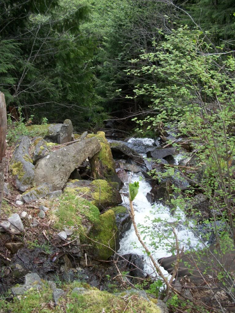
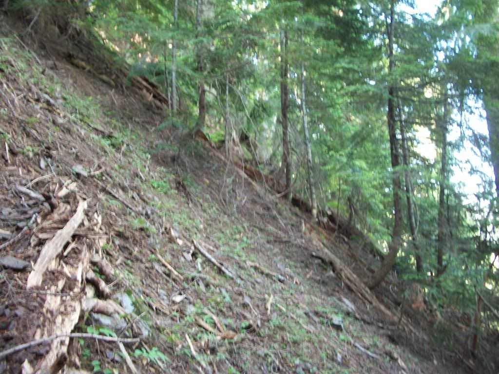
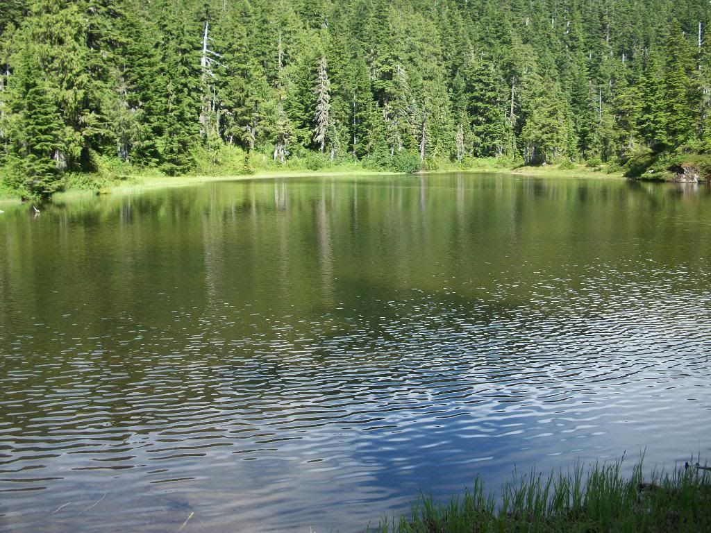
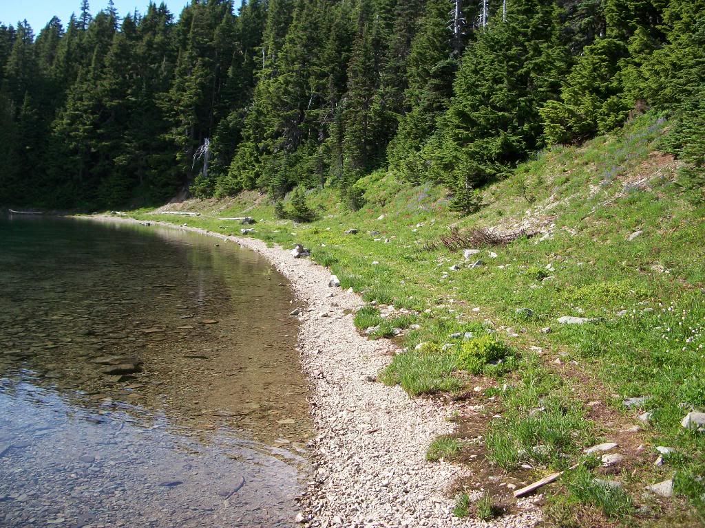
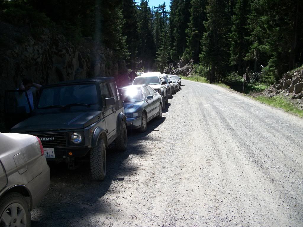
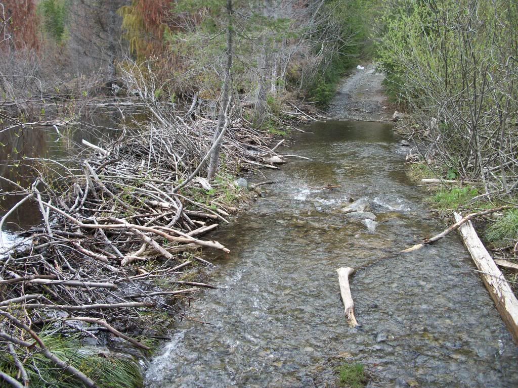
The "lake" to the left is about 3 feet higher than the road here. :eeek:
100_1181.jpg


100_1183.jpg


100_1184.jpg


100_1185.jpg
 
Figured while we were on the hill we might as well hit Coplay too.

cope8.jpg


cope9.jpg


And East Lake. :haha:

cope4.jpg


Coplay from above...
cope3.jpg

Stopped at the bridge to see Cayada creek on the way down.
chen1.jpg


chen2.jpg


100_1203.jpg

Burnt mountain
100_1205.jpg


100_1210.jpg


100_1213.jpg


And if you look real close, you'll see bigfoot...:stirpot:
100_1208.jpg
 
Went camping above coplay this weekend, here's some pics.
Camp
100_1391.jpg


Mmmm. Breakfast both days, bacon, seasoned (burnt) potatoes, and cheesy scrambled eggs.
100_1393.jpg

Hiked up above eastlake.
100_1395.jpg

100_1396.jpg

100_1397.jpg


Got to the top of bear mountain for this view..
100_1398.jpg

Little lake about half way up that feeds into eastlake.
100_1402.jpg


Got back to camp and had lunch, went down to coplay for some fishing (lure losing) and headed up above to the summit lake trailhead.
100_1407.jpg
 
Headed up the summit lake trail, and came to twin lake first.
100_1408.jpg

100_1410.jpg


100_1412.jpg

There's snow in them there hills...
100_1413.jpg


100_1414.jpg

A pretty flower pic just for boonie buster. :D
100_1415.jpg

The view from the "toilet". Wish I had this kind of view from my toilet.:redneck:
100_1417.jpg

The shoreline of summit lake.
100_1419.jpg


100_1420.jpg


100_1421.jpg


And cooking breakfast this morning before breaking camp.
100_1423.jpg
 
So you can drive up to the summit lake parking area? It was washed out for some time. Tried a few years ago to make it but got turned away
 
summit lake parking area was open all winter. You can see where they made the repairs to the road, as its a little scary in a full size truck in the snow!! Its wide enough, you just cant tell from all the snow.

Its forest road 7810, and they still list it as open on the FS page.
 
Eunice Lake and Tolmie Peak

A buddy and I decided to head up to Mowich today to hike up to Eunice Lake and the Tolmie lookout tower. Turns out it was a free weekend, so it was packed.

Looked like this for about the last 1.5-2 miles of road up to the lake. Found a spot just big enough for the sami luckily, so it wasn't a long walk to the trailhead. :cool:
100_1442.jpg


100_1444.jpg


100_1448.jpg


100_1451.jpg

About halfway between Eunice and the ridge.
100_1452.jpg


100_1454.jpg
 
The carbon river down there, and the Olympics WAY out there in the distance.
100_1457.jpg


You can just barely make out Baker if you look close.
100_1458.jpg


100_1459.jpg


100_1462.jpg

Eunice from the tower.
100_1463.jpg


100_1464.jpg

St. Helens in the distance.
100_1465.jpg


100_1466.jpg
 
Lunch. :redneck:
100_1472.jpg

A little better shot of Baker.
100_1473.jpg


100_1474.jpg

The high dive.
100_1475.jpg


And of course, a nice crack rock. :haha:

100_1477.jpg


Great day of hiking, followed by bbq and beers. Couldn't have been a better day. :cool:
 
Lame.


:fawkdancesmiley:
I have yet to be over in that area. This weekend was PACKED up there! :mad:

I like those panorama pics! :awesomework:
 

Latest posts

Top