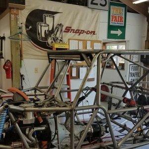
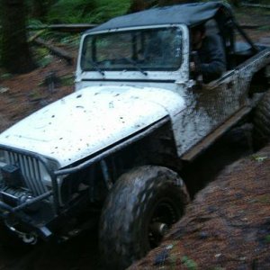
Boonie Buster
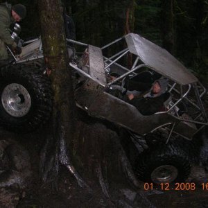
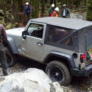
Stuck on a Curb
Pics to follow...
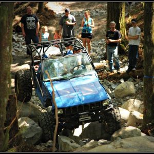
POST PICS and a story of your adventures. OLD or NEW!!! :awesomework:
:corn:
POST PICS and a story of your adventures. OLD or NEW!!! :awesomework:
:corn:


Hiked to Snow Lake last weekend.
 some critters too!:awesomework:
That's awsome, Pat. I may have to give that a try in September.


blah, blah, blah...I'm Pat...:flipoff::haha:
That's awsome, Pat. I may have to give that a try in September.
Damn! Didn't know we had a fellow mountaineer in the wheeling crew. ??? Right on.....
It was.
)