jeepmauler
Well-Known Member
- Joined
- Oct 17, 2006
- Messages
- 2,064
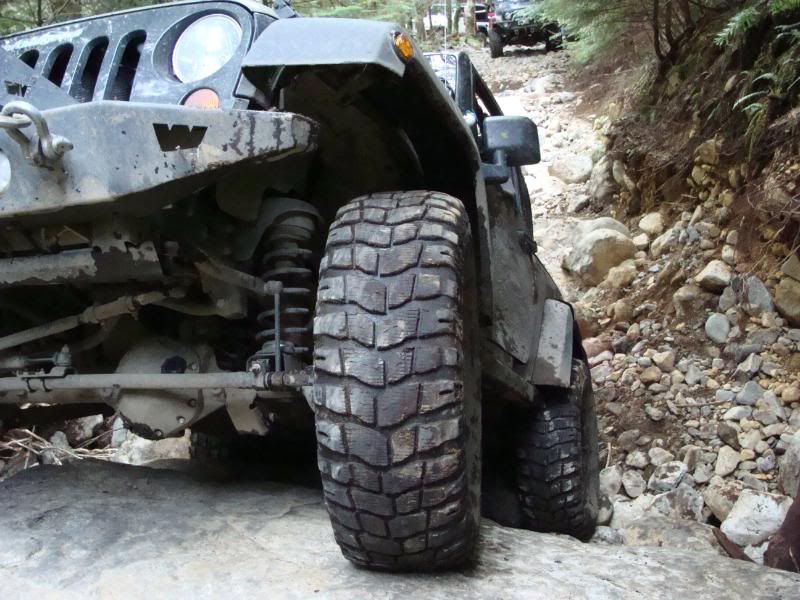
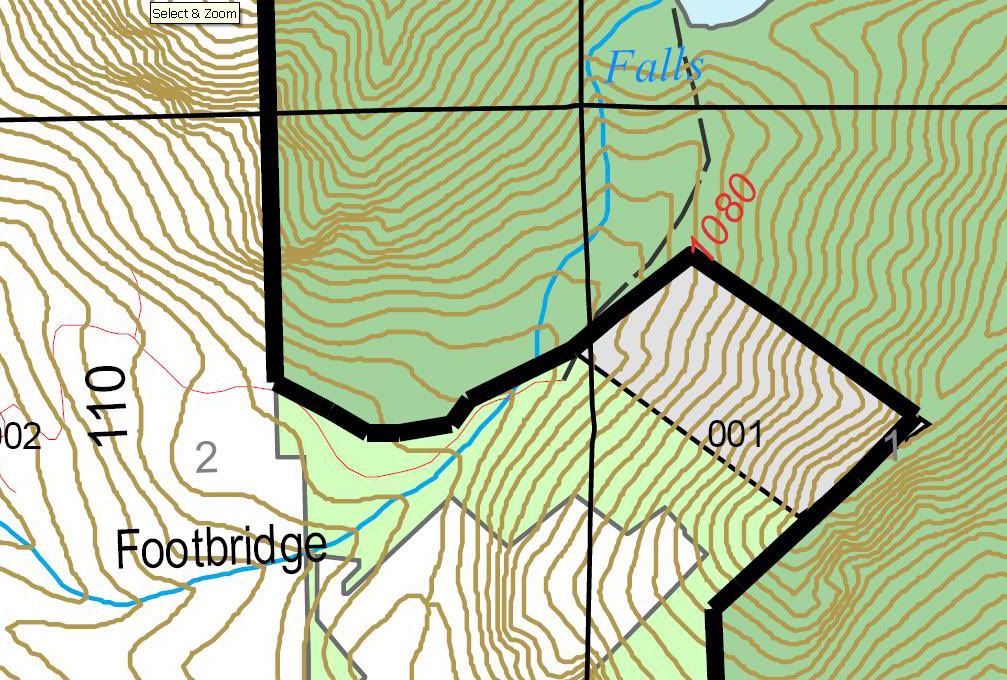
Side of Mtn fell down,Smashed bridge and DIVERTED May Creek onto the mine road/jeep trail.Water rages down trail for about fifty yards before it dives back to the left,into the valley, to it's original course.Where the water leaves the mine road,through hydrodynamics,the water has scoured a large hole.....maybe 20' deep and 30' feet across with vertical sides like a barrel.The valley side of the "barrel" is missing and the water cascades down from there into the valley.The HOLE takes up about 80% of the trail width...there is a "little" room on drivers left(facing up the trail) to "squeeze" a small car(like mine or $'s) by...but this would be SKETCHY at best with the penalty being landing upside down,20' down in a pool of water.The last time I looked at it was a month ago when we cleared all the blow down up to the edge of said hole.