crash2
-Oh no I picked a side-
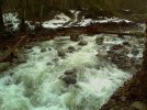
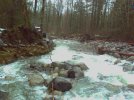
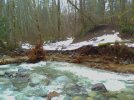
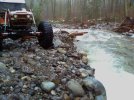
The road is closed due to a mudslide.
Its closed at the Y that goes to the fish hatchery and they are not letting anybody thru. Now I am not sure if you can get down the trails that paralell the road on the south side of the road to get to the powerline entrance--but the road is closed
You can get to the upper area via going thru index.
 ics:
ics: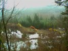

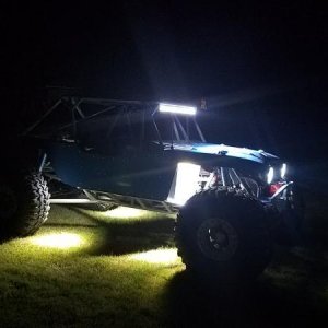
![camping_setup[1].JPG](http://attachments.www.hardlinecrawlers.com/xfmg/thumbnail/27/27459-40641761d84d5991f1bf34779e7ca4ed.jpg?1652267325)