• Help Support Hardline Crawlers :

Pictures and info

Kat

Kat Woman, Wheelin superhero!
Joined
Aug 4, 2007
Messages
2,602
Location
In the woods,WA
Hi Guys and girls,

I was up at Reiter uesterday to take pictures and get info about the closure.
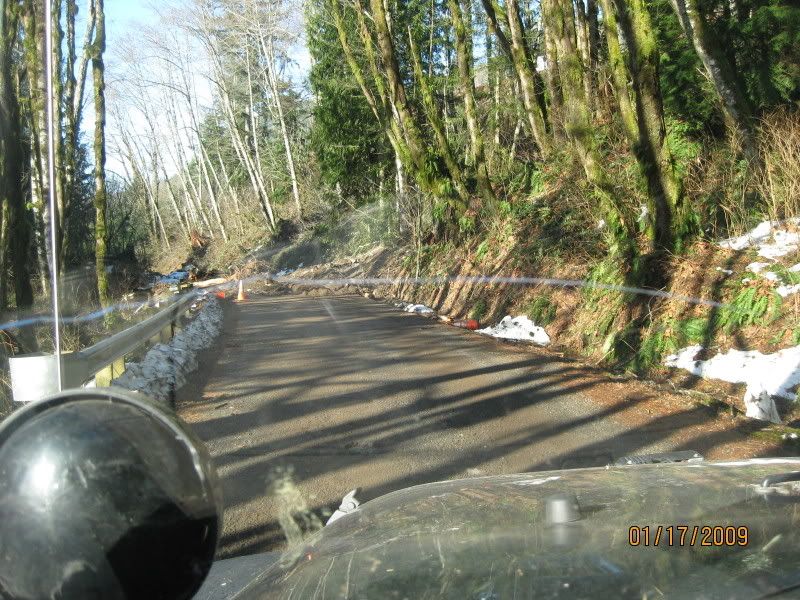
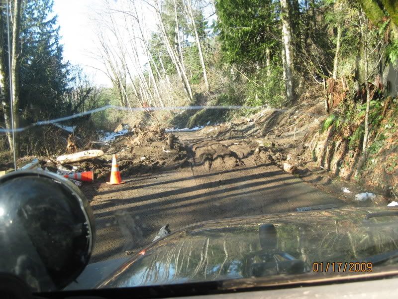
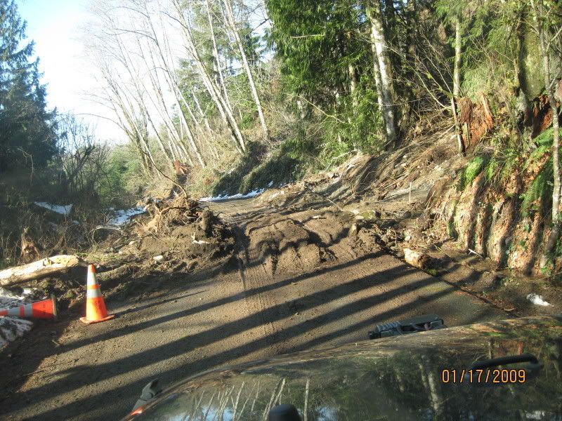
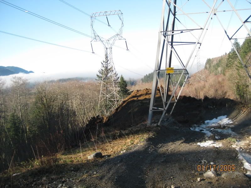
The reason for the "closure"

IMG_0055.jpg

IMG_0056.jpg

IMG_0057.jpg


After i went through it in the morning with the work trucks around but not blocking the road, I was fine fine till i tried to head back down about 2 hours later and they had there truck blocking it off. I turned around and head back up the hill when a county mounty blocked off the road infront of me. He called me and everything was good and he asked me if i saw the road closed signs and i said that i came off a side trail and did not see any signs. He let me go and told me that the guys working were to block off the road while working.

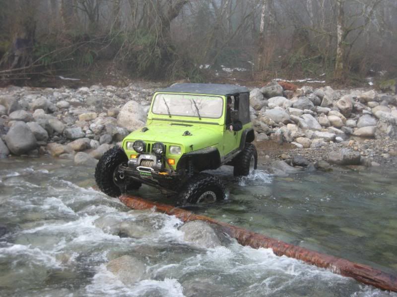
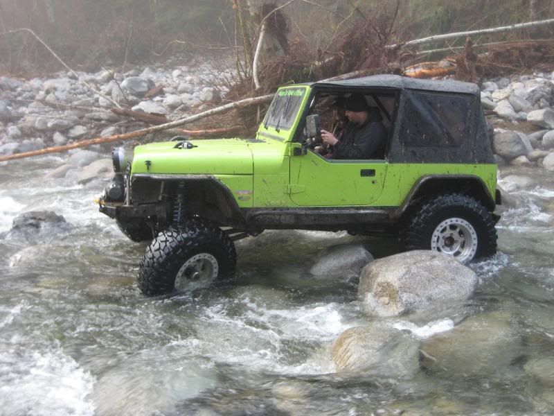
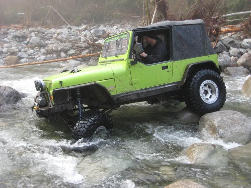
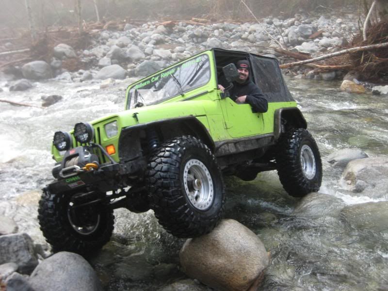
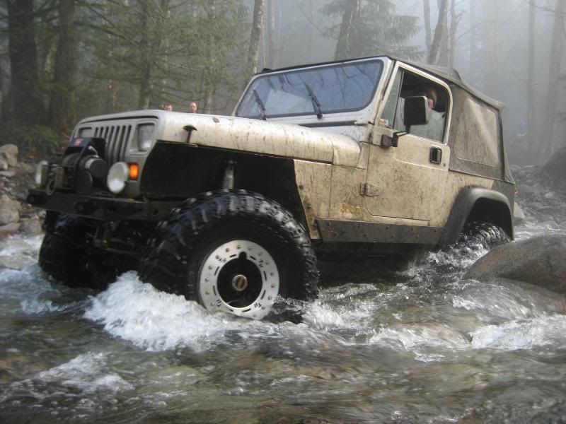
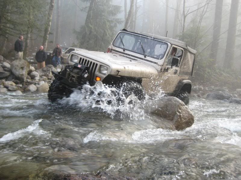
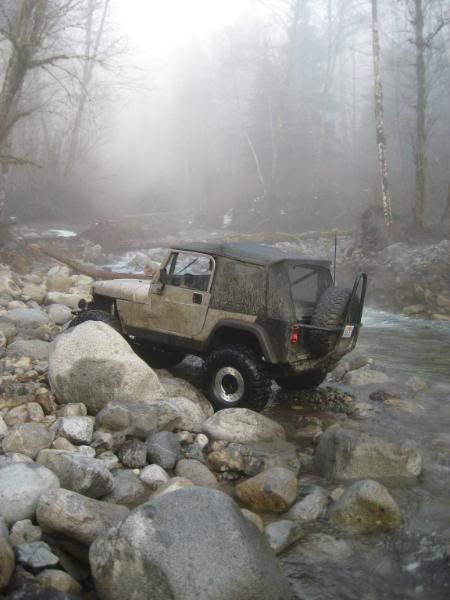
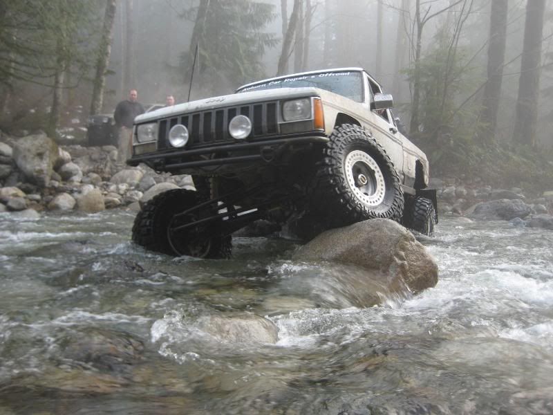
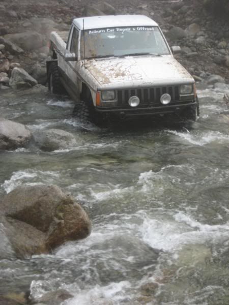
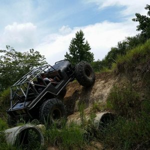
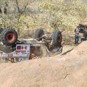
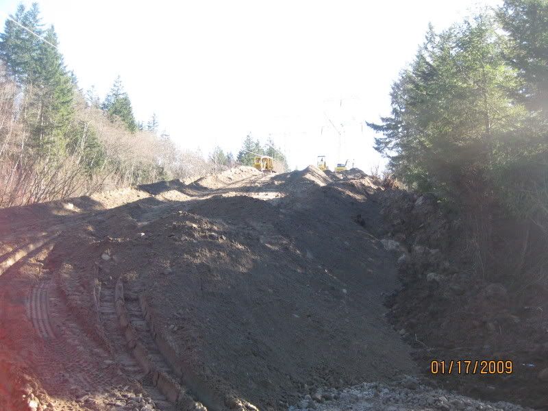
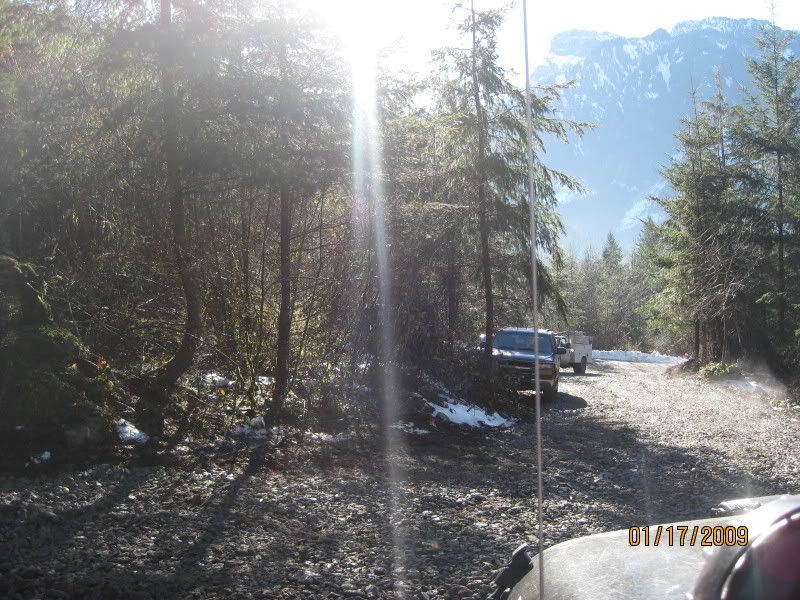
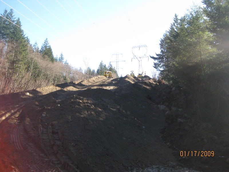
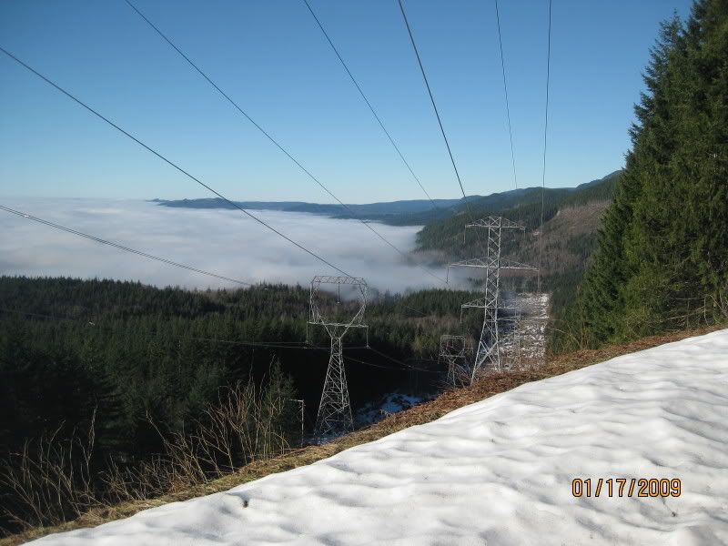
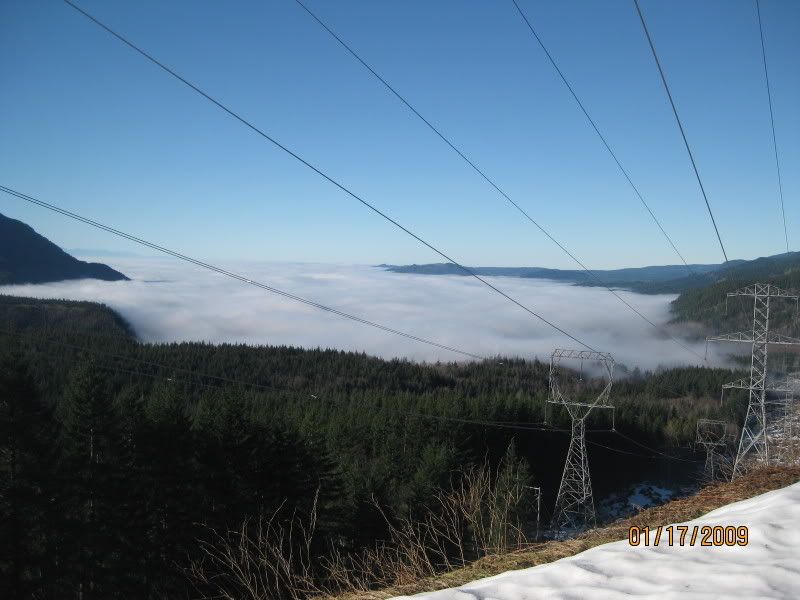
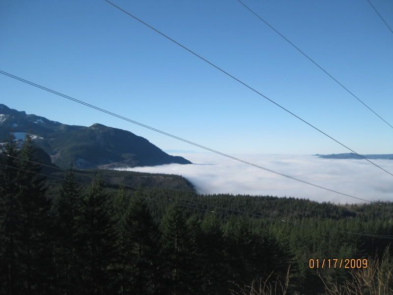
Here are some other pics i got while around.
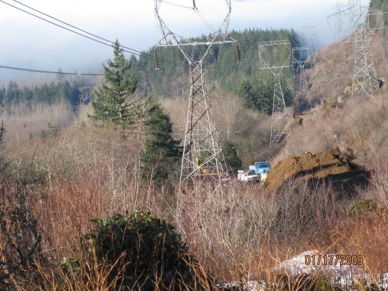
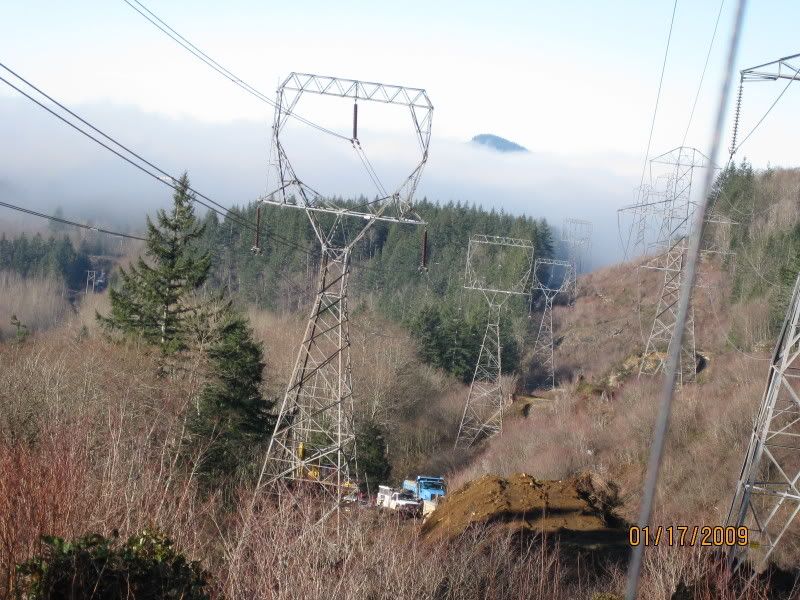
IMG_0047.jpg

IMG_0048.jpg

IMG_0049.jpg

IMG_0051.jpg

IMG_0052.jpg

IMG_0054.jpg

IMG_0058.jpg

IMG_0059.jpg

IMG_0060.jpg
 
We were up there Saturday as well. After half the group left for home, Bill and I wanted to check out the road "closure" and the powerline construction. At 7pm last night, the lower section was smoothly graded and blocked with heavy equipment here


lower.jpg


At 7:30pm, the upper section was blocked with a large trench here


upper.jpg


(I stole your pics Kat, thanks)


Here's the deal everybody. That section of the powerline road should be considered CLOSED. Most people know I'm someone that likes to bend the rules at Reiter. But even I will be adhearing to the closure and being considerate of the construction. I advise EVERYONE to do the same.

The small section of Reiter Rd is techniquely closed (although driveable) until a work crew clears the mud and debris from the road.

The powerline construction causes one major issue.......non-street leagl rigs are forced to drive on Reiter Rd to get to upper Reiter (Rhino Land, Rock Garden, Cable Trail, etc.) So until this is resolved, all us non-street legal rigs run the risk of being ticketed if seen driving on Reiter Rd. The other option will be to tow up to and park at the Rock Garden, which is fine. But now the issue is reversed and we can't get to lower Reiter (Sac-up, Lake Isabel, etc.) without driving on Reiter Rd.

There is no known resolution as of yet.


Also, now that the water has subsided, we were able to cross May Creek. The new crossing route is obvious and doable with stoock-ish rigs. So all is good there. Isabel now has an additional rocky section to negoatiate at the end. And I mean THE END. Where the 'old bridge' was (it was washed away many months ago) is now a large trench where May Creek is fed from Lake Isabel. This will not be easy to navigate....if we ever make it. There are many large trees across the newly added rocky section and will require more than just a few hours to clear.


So there you go.......:awesomework:
 
Last edited:
Oh, and remember the blocades proposed by the DNR?

I heard from a little birdy that the section where the powerline construction is going on might be added to that list.
 
Saw you unloading there Mark. We crossed the creek as well, dunno what the SOP is here for posting pics of water crossings, but I can if anybody is interested.

John
 
One more thing......there was indeed a small landslide on the main gravel road going up to the Outlet Mall. This landslide is minor and has already been navigated around by many. No big deal.
 
:cool:

I didn't realize you drove the lime green YJ......I'll come over and say :hi: next time.


So.....you guys had to drive around through Index just to get back to your trailer? That sucks.....we would have been screwed if that happened to us.:eeek:
 
:cool:

I didn't realize you drove the lime green YJ......I'll come over and say :hi: next time.


So.....you guys had to drive around through Index just to get back to your trailer? That sucks.....we would have been screwed if that happened to us.:eeek:


Yeah, when we went up in the AM, we encountered the crews working on compacting that big dirt ramp, but nothing on the road. We ran some trails and came back in the afternoon and JK kat was airing up and said it was blocked, we went down to try anyways (I know, stubborn men) and got turned around by the sheriff. Had no choice but to go back through Index.
 
(MONEY MARK)
Also, now that the water has subsided, we were able to cross May Creek. The new crossing route is obvious and doable with stoock-ish rigs. So all is good there. Isabel now has an additional rocky section to negoatiate at the end. And I mean THE END. Where the 'old bridge' was (it was washed away many months ago) is now a large trench where May Creek is fed from Lake Isabel. This will not be easy to navigate....if we ever make it. There are many large trees across the newly added rocky section and will require more than just a few hours to clear.
..........................................................................................................

Do you have pictures? preferebly from the very end?
 
I didn't get any pics but I did try out something new......an in-cab video shot. The camera was just zip tied on to the chassis:redneck:so the angle's all crooked. But you'll get the idea.

http://www.youtube.com/watch?v=2FH-z2-7fMo

I stopped to turn around where the video abruptly stops. There is still alot more clearing to do, but we did manage to clear the first bit. The trail keeps going for another 1000 feet or so before meeting May Creek.......and it only getts harder the further up you go. :cheer:


Calling Jay Luke, Stealthrunner, Darby and budgetxj.......I know each and every one of you have pics to post. :corn:
 
I have the picks of the upper section. The area we hiked. I need help on how to upload them. HELP! and I will post'em
 
I am gonna set up a photobucket account. In the meantime I am e-mailing the few pics I have to mark and he'll post'em up :)
 
Top