hunterwanabe30
New Member
the circle areas is all they r proposing for orv use. Nice great that is just the right amount of area for everyone to enjoy ya right
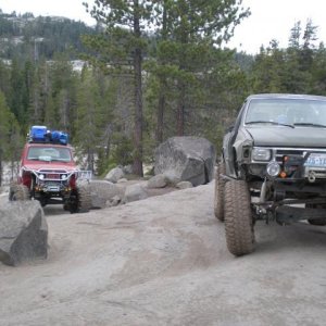
P5000 road.Was an area that went from near granit (forget the road) all the way over to near the dam up in the basin.
Anyone ask about weekend work party's?
Working one day.
Wheeling one day.
Just wondering?
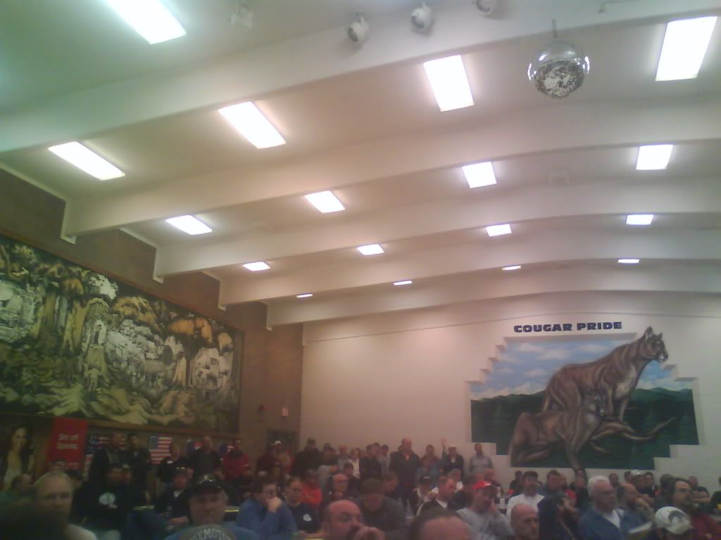
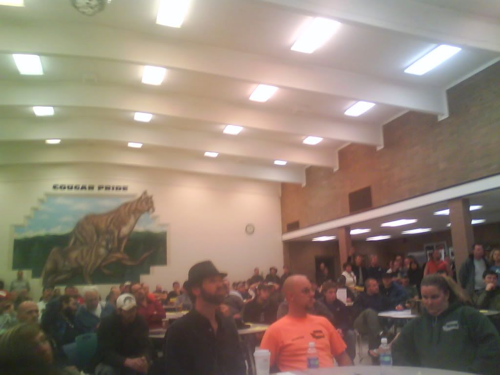
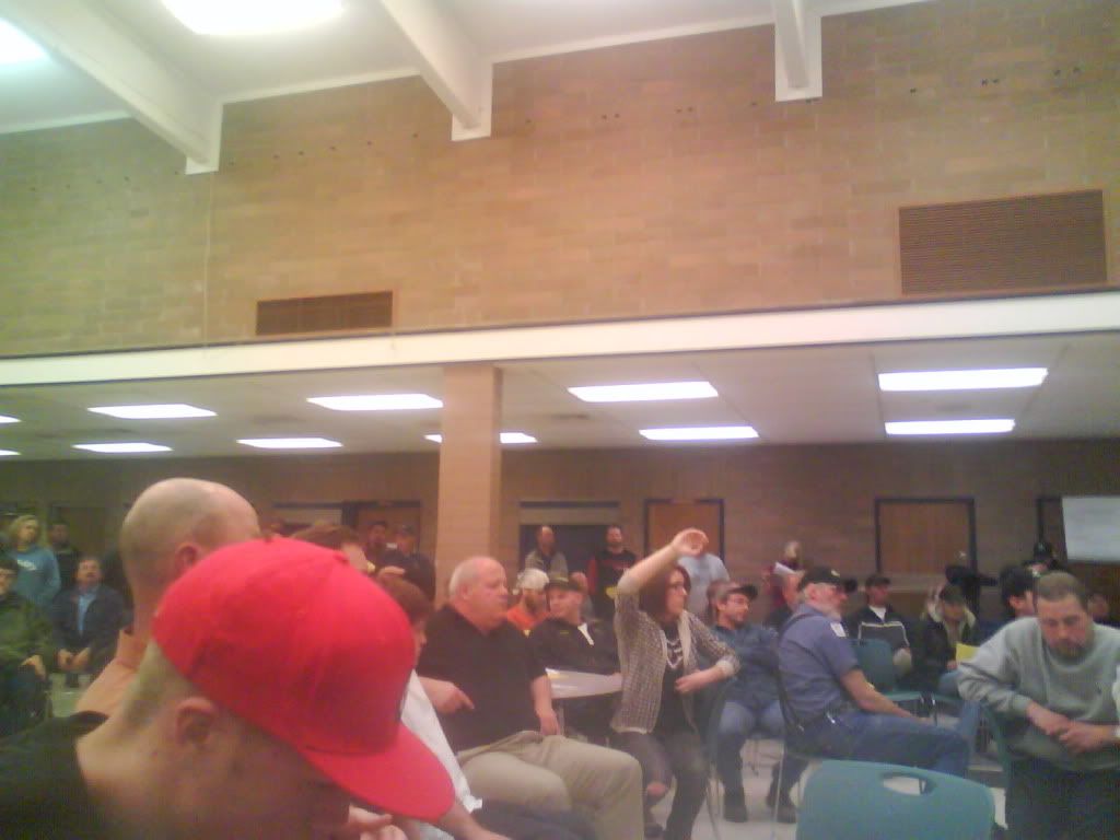
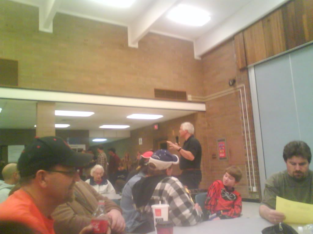
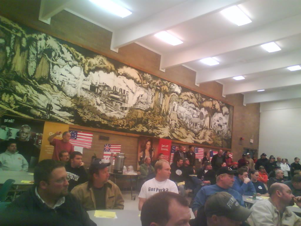
Tonights meeting was conducted primarily be Mark Mauren who is the Assistant Division Manager Recreation/Public Access/WCC for the DNR. First impression is Mark is a prety straight up guy and very knowledgeable.......I started to take notes about the meeting so I would have the details correct but after about 10 minutes I just wanted to stick my ink pen in my eye and get it over with. Some people in the offroad community are more stupid, ignorant and unprofessional than I had thought.....Mark talked for about a hour and a half mostly trying to answer some peoples stupid questions. There were a few good points brought up but nothing really worth writing about. For the most part no real details were given that make a difference in the big picture. Mark I think intends Reiter to reopen but won't commit to a date when. The DNR is going to hire a consultant to map out the new trails and I get the impression the consultant will have full power to recommend a system and I don't think the input from the "leaders" is going to make much if any differance.......
After the meeting I was able to talk with Mark for about 5 minutes or so. Don't quote me on exact words here or the order in which they were discussed... I asked Mark if there were plans to expand Reiter onto lands outside of the DNR land. What he told me is they intend to incorporate the trail system onto the other government owned lands. He said for instance the state park land would likely be non motorized portion as he didn't think state parks would open their land to motorized use. I got the impression that he hadn't really put any thought into this...I asked about the DNR buying private land like Menke. He said this has been talked about but not in the plans for the first phase of things. He said they/ we have to be successful with phase one in order to be able to move onto phase two. I asked him about the fact that Reiter's being closed and there's trails on private land. His reply was "we connot close private land but you must go through DNR land to get to it". I pointed out to him that a person could go through state parks land to get there and not use DNR but the DNR is "closing" state parks land to build trails. I said "this is a shade of gray what's the deal?". He didn't give me a straight answer to this but in not so many words admitted there was nothing they could do to control this. Somewhere earlier I had asked if the DNR had any "agreements" with the other land managers and he said no. I get the impression he hadn't even talked to any of them. I asked about what the intentions were in the future if the DNR did buy the Menke property. He replied that they would first have to see if Menke even wanted to sell it which tells me they haven't talked. He followed with the land was needed for access to non motorized areas. I asked specifically about the trails that were there and if they would close but he didn't give a straight answer.
After this conversation I get the feeling from Mark that the OM will probably be closed to motorized use. But there is a off chance we could save it. I think at that point the climbers would pitch a bitch and we would be out because we already have 4x4 trails by then.
the question was asked. The answer was an analogy about trying to live in a house while you build/remodel it.
They said they don't want the hassle, or the work to be undone by users during the week.
If I was a land manager and I attended last nights meeting I would be inclined to just say "**** it" and shut the whole place down. I think we are lucky to be getting the few thousand acres we are getting.
The 10% of loud mouth, unimformed, ignorant, combative ORV users sure made us as a group look bad.
In future public meetings a rule of order needs to be established prior to the meeting starting.
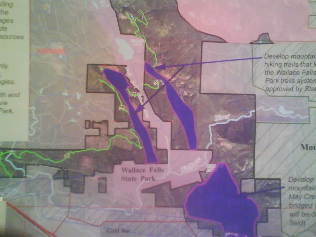
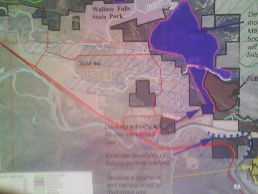
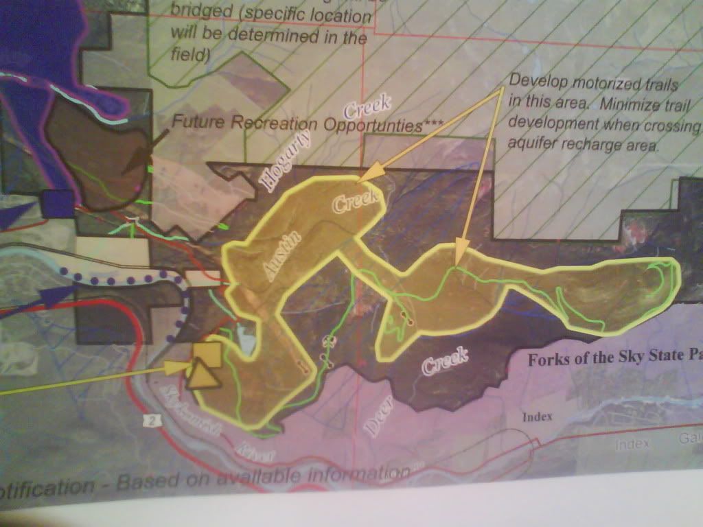
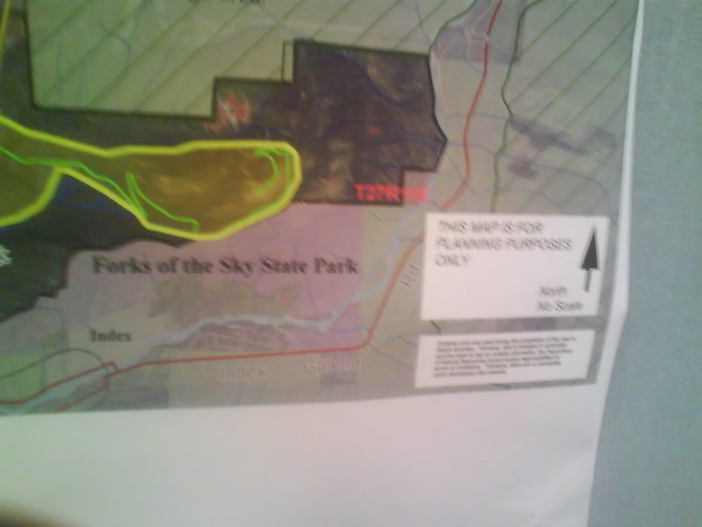
So, what they displayed at the meeting is what most closely resembles concept b from this doc:
http://www.dnr.wa.gov/Publications/amp_rec_reiter_plng_committee_notes_031809.pdf
Which gives motorized users about 1,000 acres of land, but no room for motorized camping since it's well above the large gravel lot with no trail to get there.
If we get motorized camping we end up with some version of concept C that cuts us down to only 670 acres?
So true. But the DNR's origional aproach to the closure was handled wrong and just started a big fire that was burning red hot by the time they could have organized a public meeting.
Unless you have spent alot of time out there working to only have it destroyed can you really understand there point of view. I see it and agree.
I don't however agree with closing all the other areas that are not in the plan until the new area is done.
Remember when you look at those maps those are rough ideas proposed to the DNR. At that point the DNR can take and use/modify or throw them out.
I know from the aspect of a committee memeber there was some disgust on what was worked out for the area and size.
Absolutely, reading between the lines, what I get from those maps more than anything else is:
1) They only place they are planning on allowing camping is the main gravel pit area.
2) They don't seem to be allowing for a trail from the camping area to the west side of the system.
That said, the million dollar question is, if they go with an option of no motorized camping (ORV access to campground), will they allow camping with room for truck and trailer in the gravel pit area.
But the fact still remains we as a volunteer force will make it what it is and in what time frame it gets done in.

![IMG_3105[1].JPG](http://attachments.www.hardlinecrawlers.com/xfmg/thumbnail/4/4661-63f0d830f7f19ce16ac57183878423f3.jpg?1625928471)