I know I've seen a thread with an mspaint map about it, but for the life of me I can't find it. If you can point me to it, I can delete this thread.
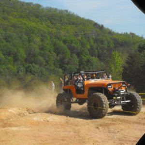
I'm going to have a group of stockish height to some built rigs running up to Reiter in June. I can't use the paved roads to get between the two halves of the system.
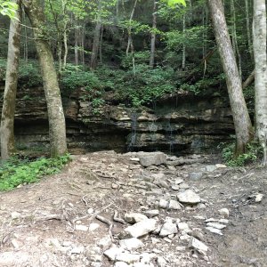
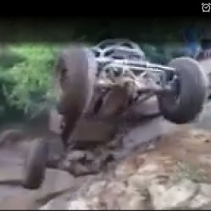
Option 1: poop chute, how steep is it now days? can an open diffed rig make it back up it unassisted or will we be pulling cable?
Option 2: I thought there was another option that was trail up to the gravel road that leads to the wall. I don't recall any mention of that in the "around the paved road options" and I do recall a power company working in that area. Is this no longer an option?
I'm going to have a group of stockish height to some built rigs running up to Reiter in June. I can't use the paved roads to get between the two halves of the system.
Option 1: poop chute, how steep is it now days? can an open diffed rig make it back up it unassisted or will we be pulling cable?
Option 2: I thought there was another option that was trail up to the gravel road that leads to the wall. I don't recall any mention of that in the "around the paved road options" and I do recall a power company working in that area. Is this no longer an option?