• Help Support Hardline Crawlers :

izzy thread

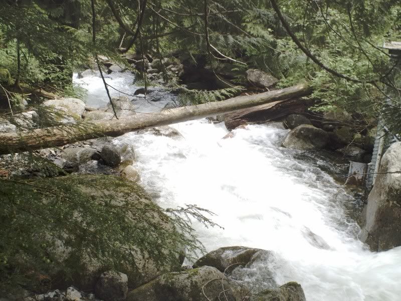
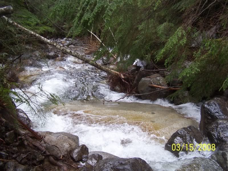
Imagine this--I spent 10 minutes trying to figure out where the bridge---was.....


What happened about 2000ft abover the bridge--the hillside let loose and came down and whiped it out. the part of the trail that went past the bridge--it like 30ft wide all the way up now--but hard to tell whats there because there is still 2ft of snow.....

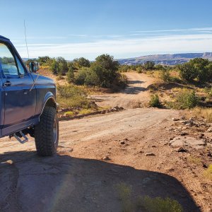
Holy.... that's almost enough inspiration to get my truck running again. :redneck: :popcorn:
 
The bottom part of Izzy is still kind of a highway and the ledge rock area is a little bit worse but its the upper part that got KILLED by november/decembers floods.
 
might be the end of the summer before anyone even gets to where the bridge used to be :haha: :stirpot:
 
SUNP0038-3.jpg


100_1720.jpg


:eeek:
 
If people give US **** for tearing up the land, how does mother nature get away with it? :eeek: :haha:
 
In the right side of that picture there is a verticle culvert that looks like the one that used to be near the old log bridge. Wonder if it's the same one?
I always wondered what that was for?


I've never paid attention to the one by the old log bridge, but that does look like the right spot.

It's a gaging station. If you look closely it's got a white metal placard on the side with graduated measurements (big yardstick). The top looks like it has a locking lid, and who-knows-what inside... Some of the ones we use have automatic bathymeter dataloggers with cell phones; they keep track of the water level and call in periodically to download to the database. But those require regular maintenance and battery changes, so I don't think anyone's keeping tabs that closely in this case. At a minimum, there is probably some sort of way to register the peak flow (we actually use powdered cork on a wooden dowel).

The idea is that if you know the channel geometry and downstream control structure, you can generate a table to approximate flow volumes (cfs - cubit feet per second) based solely on the water depth. Of course, every channel is different, so it takes a lot of data points to come up with a reliable rating curve. Jeez I'm a water dork. :looser: Enough rambling.
 
http://i243.photobucket.com/albums/f...n/100_1720.jpg

In the right side of that picture there is a verticle culvert that looks like the one that used to be near the old log bridge. Wonder if it's the same one?
I always wondered what that was for?

yes--same one.

They used it for water levels.

There used to be a float at the bottom of the culvert with a rod that went up the culvurt pipe and into the box on top.....
 
Where did Rhonda take that picture from? Did she somehow get across the creek? The angle is suspect...

That's what I was thinking... when crossing the bridge going up, that metering station is on the right hand, downstream side, on the bank of the stream nearest the lower section of the trail.
 
That's what I was thinking... when crossing the bridge going up, that metering station is on the right hand, downstream side, on the bank of the stream nearest the lower section of the trail.

That picture was taken from the far side of where the bridge was, so somehow they got across.
 
Top