MIG'DHORSE
Well-Known Member
so when can we assume this happened? spring is on its way... that will determine whether or no there will be more slides. hopefully it dries up nicely.

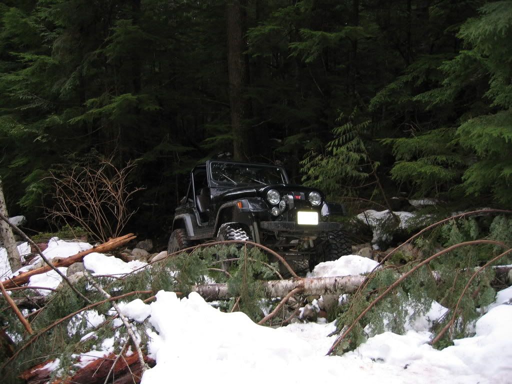
The trail doesn't go all the way to the lake, and the spooky sidehill spot that overlooks the big dropoff is basically the end of the trail for 4x4's so you've already been up to the end unless you want to tackle that part too.
The trail doesn't go all the way to the lake, and the spooky sidehill spot that overlooks the big dropoff is basically the end of the trail for 4x4's so you've already been up to the end unless you want to tackle that part too.
if wildsky comes to fruition that area will be offlimits anyways. so we should enjoy the upper part while we can...if it can be driven even better.
i wanna go to the lake.
I can tell you that if it's not obeyed, and is caught, the DNR will be compelled to take steps to see that it is obeyed.How well do you think that closure, realistically, would be obeyed?
I can tell you that if it's not obeyed, and is caught, the DNR will be compelled to take steps to see that it is obeyed.
It all depends how much money they want to spend to enforce the closure. Either they can spend lots of money to make an impassable closure at the boundary, or they can make the DNR do a closure further down.
Thats always been my goal. Not many people have, I've been asking about it for years and only talked to one or two people who have actually seen the lake. The mysterious trail to nowhere...
this summer for sure.:awesomework:
here is a video of float plane landing on the lake.
gives you a good idea of how big the lake actually is (you will want to turn the volume down to avoid the :rb: )
Izzy has changed dramatically. We drove up as far as we could today and walked to the bridge which I THINK is still there. As far as I can tell the bridge is what caused the damage..........There must have been some extremely heavy run off that swept LOTS of debrit down the creek. It looks to me like the bridge trapped the debrit and the creek took a new path around the new bridge/dam. I don't think the creek could ever be routed back to where it was by man without lots and lots of dynamite. Where this leaves us now is if we want to salvage part of the trail up to where the bridge is there need to be lots of labor both cutting out deadfall trees and moving boulders to try and route at least part of the creek in a more favorable direction, right now it Y's out. If we did this and built a new bridge then maybe some of the trail above the bridge could be used...
This is just my opinion and observation and things need to be looked at closer when the snow melts.
here is a video of float plane landing on the lake.
gives you a good idea of how big the lake actually is (you will want to turn the volume down to avoid the :rb: )
[youtube]VOMUSZOmGDU&feature=related[/youtube]
uke: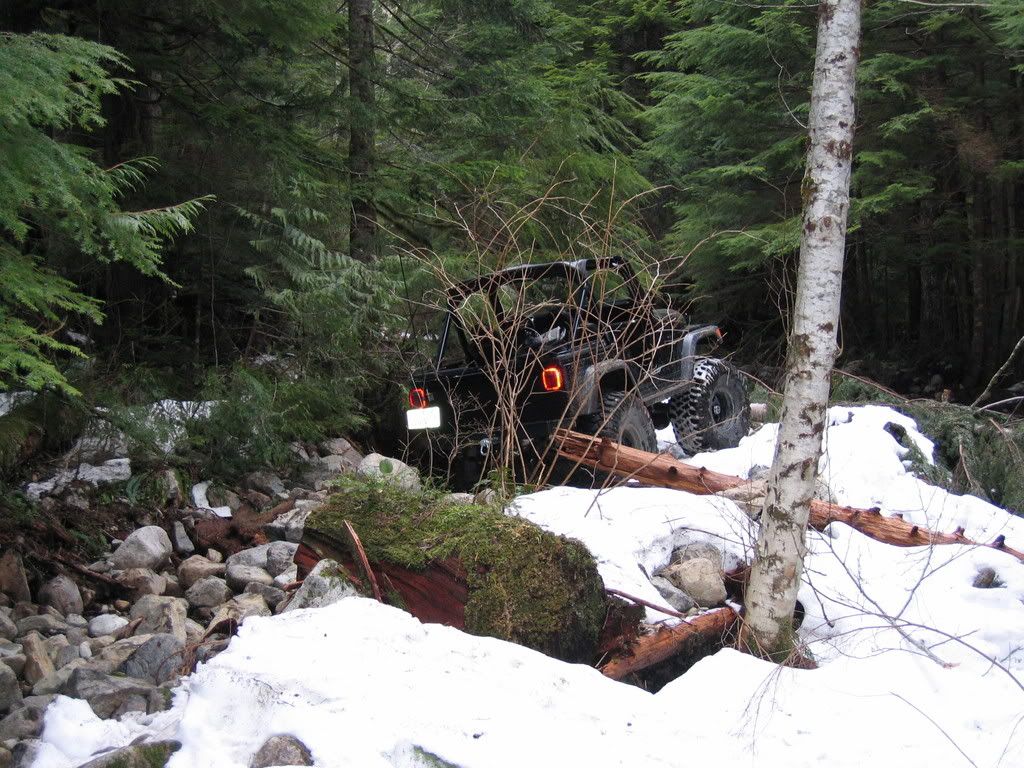
Lets hear some details about the revised trail as you saw them
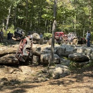
![Tellico_10-05_026[1].jpg](http://attachments.www.hardlinecrawlers.com/xfmg/thumbnail/8/8901-2cc1ec74ad9c07ebc57024b501c31491.jpg?1625928884)